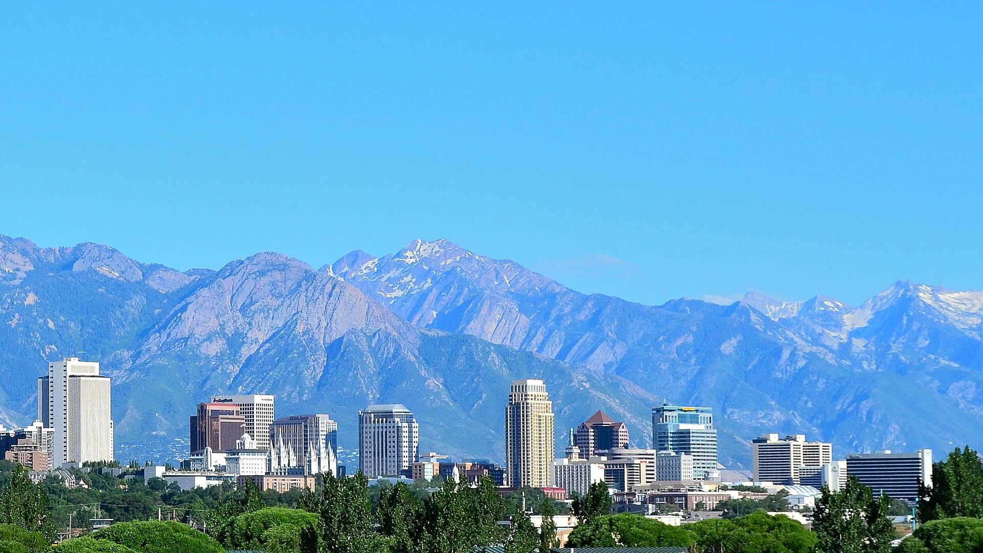
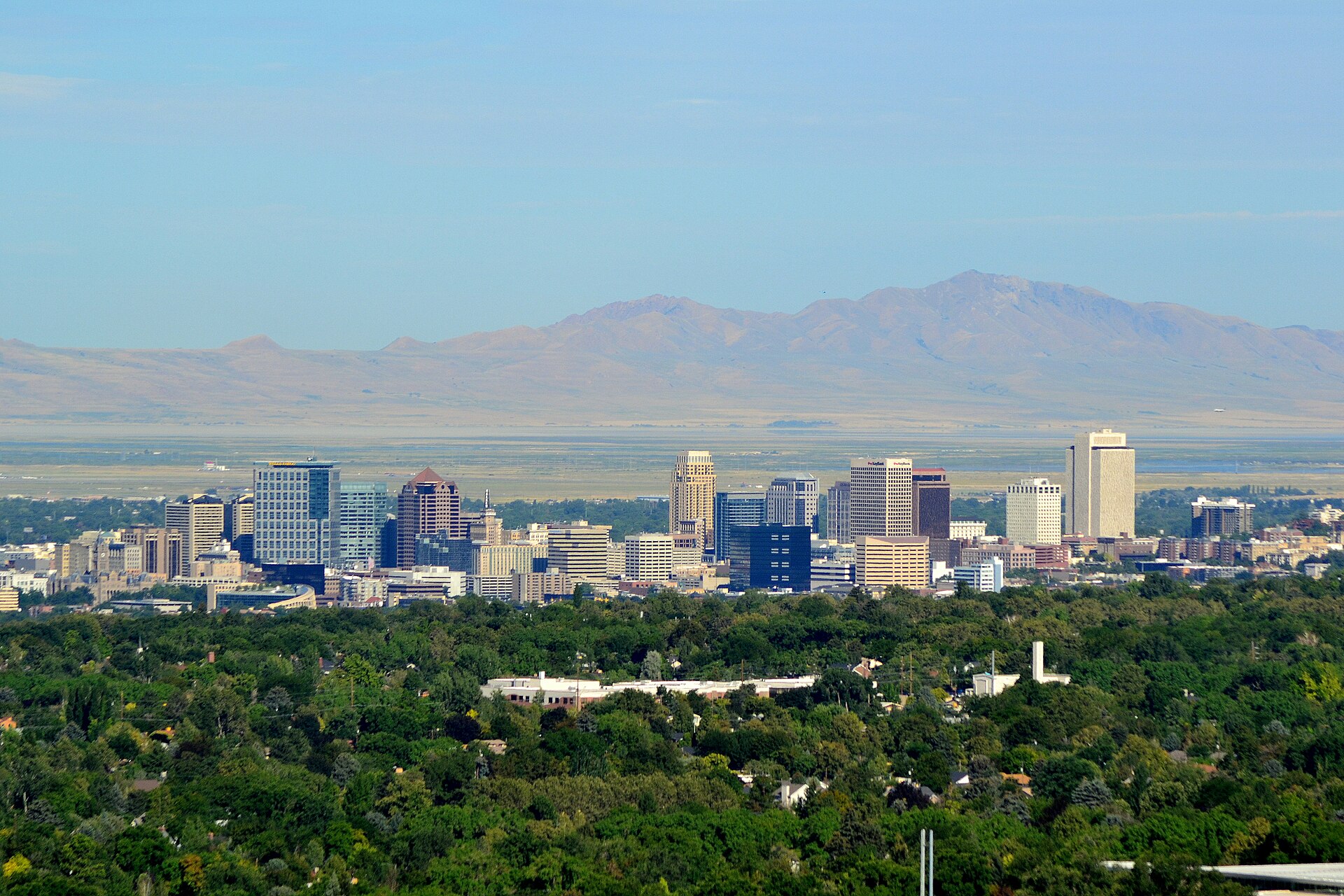
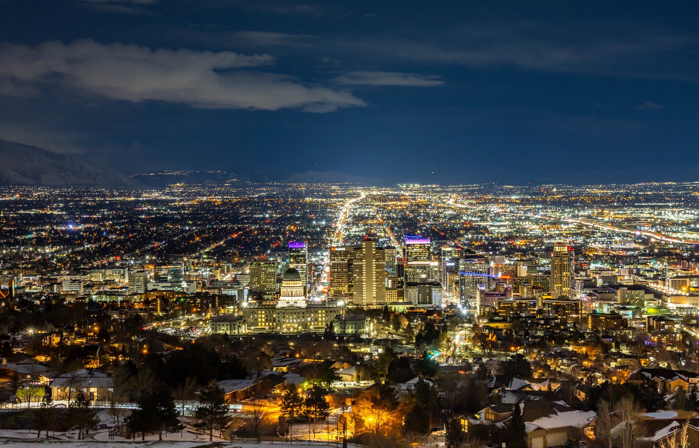
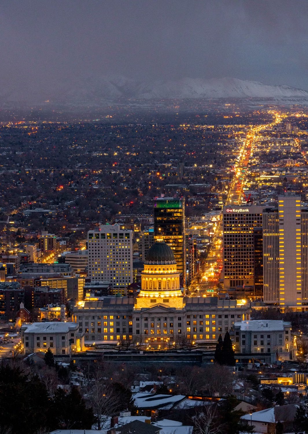
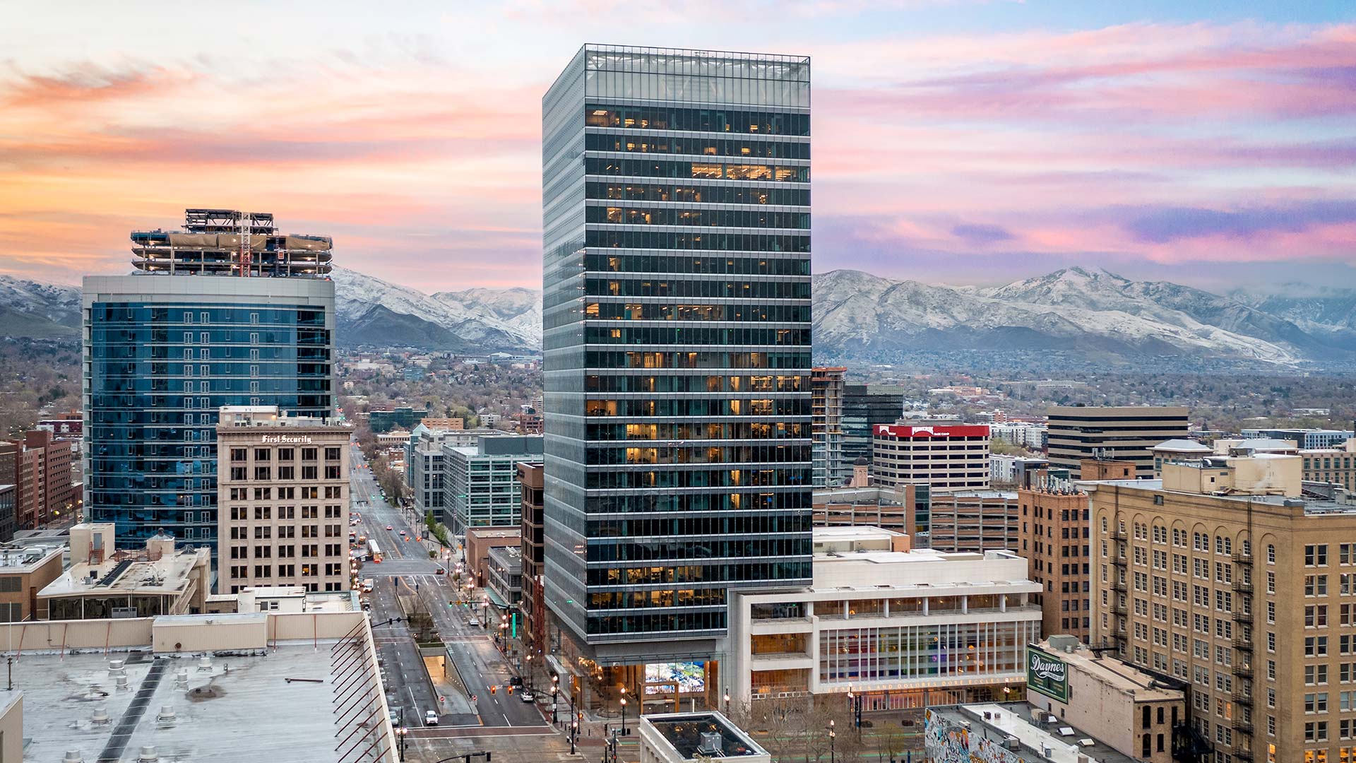
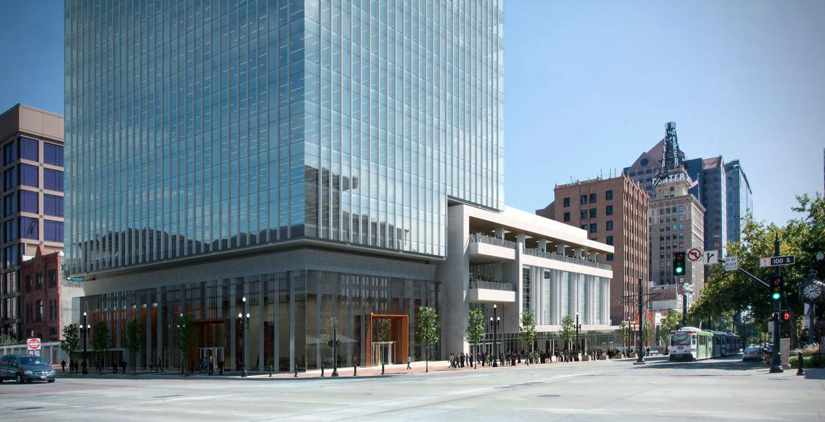
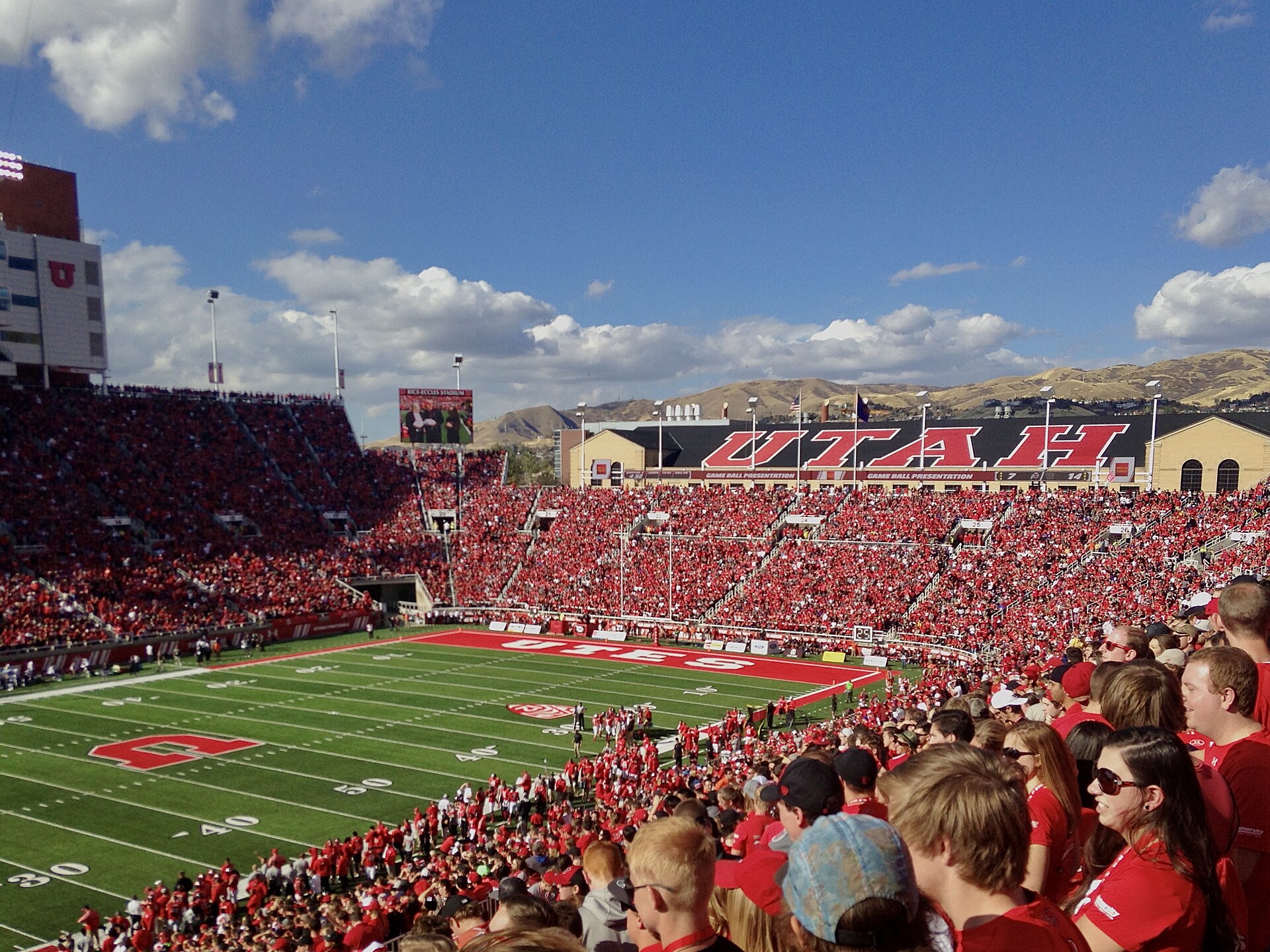
Downtown Salt Lake City and the Wasatch RangePhoto: Garrett from Salt Lake City, CC BY 2.0Downtown skyline in daylightPhoto: Garrett, CC BY 2.0Downtown Salt Lake City at nightUtah State Capitol at dusk111 MainHeart of downtownRice-Eccles Stadium, Utah's home field
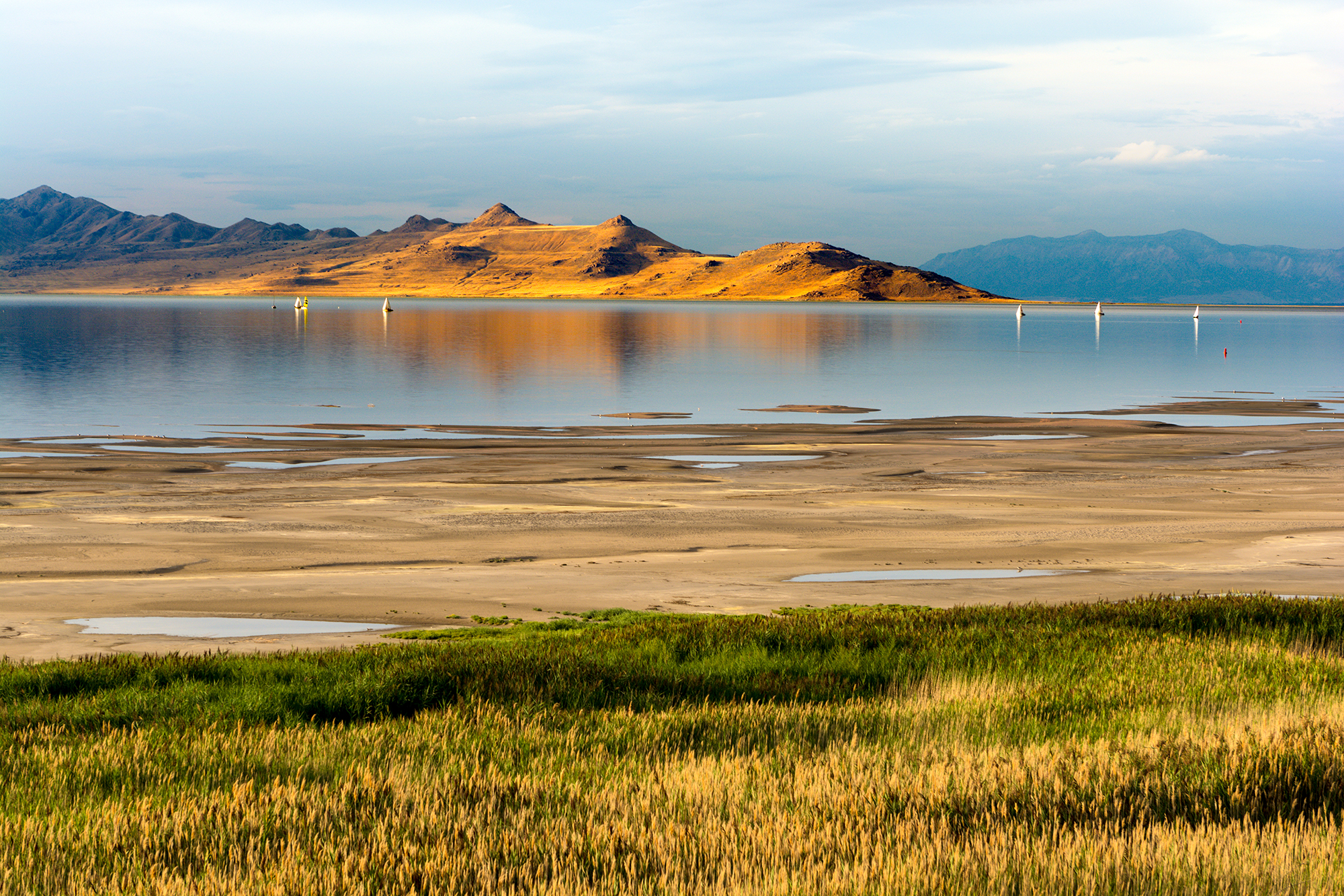
The Great Salt Lake
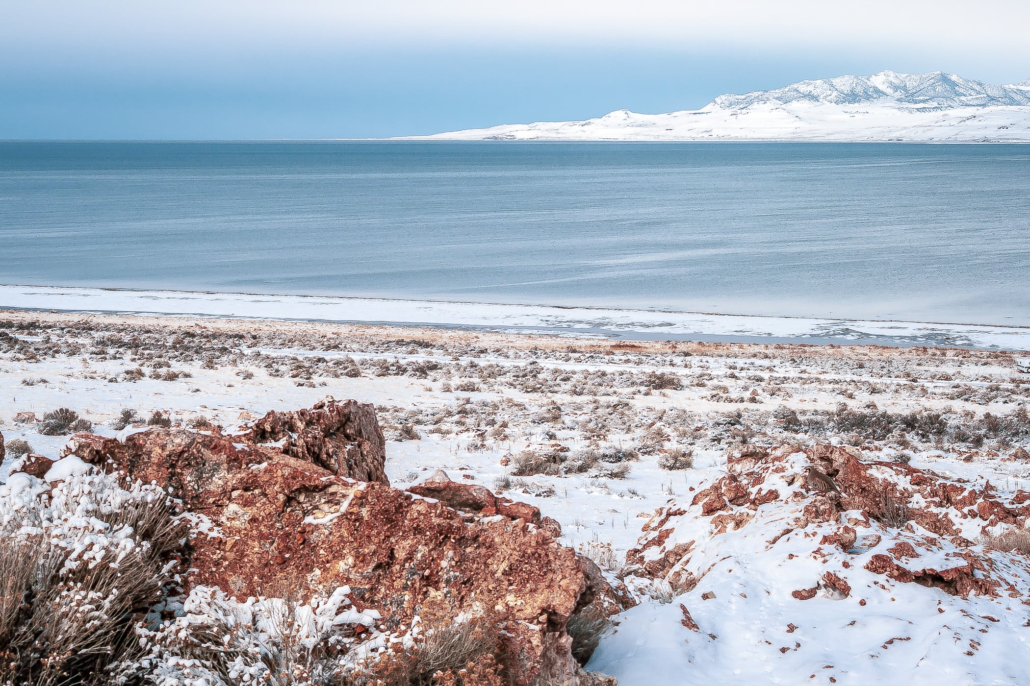
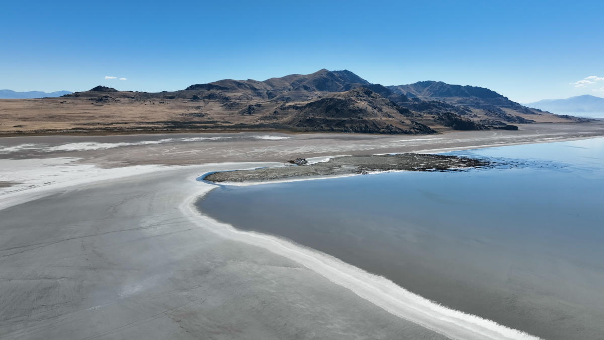
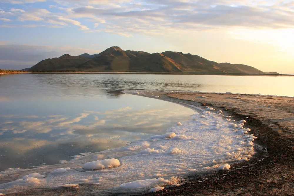
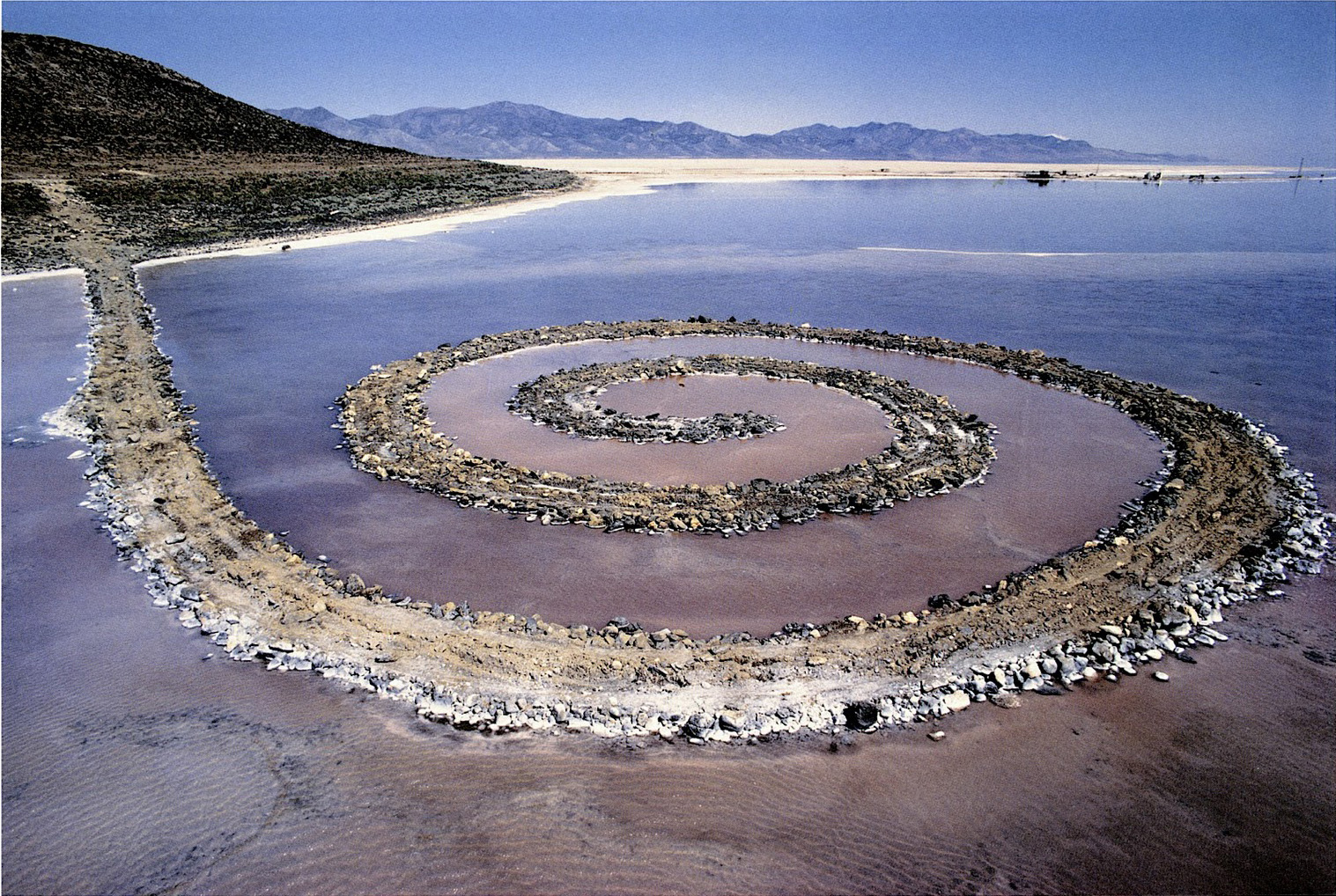
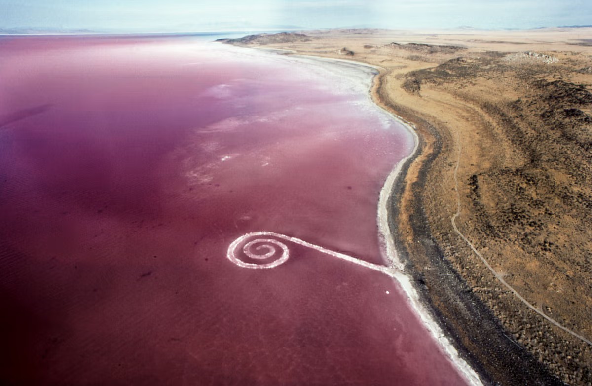
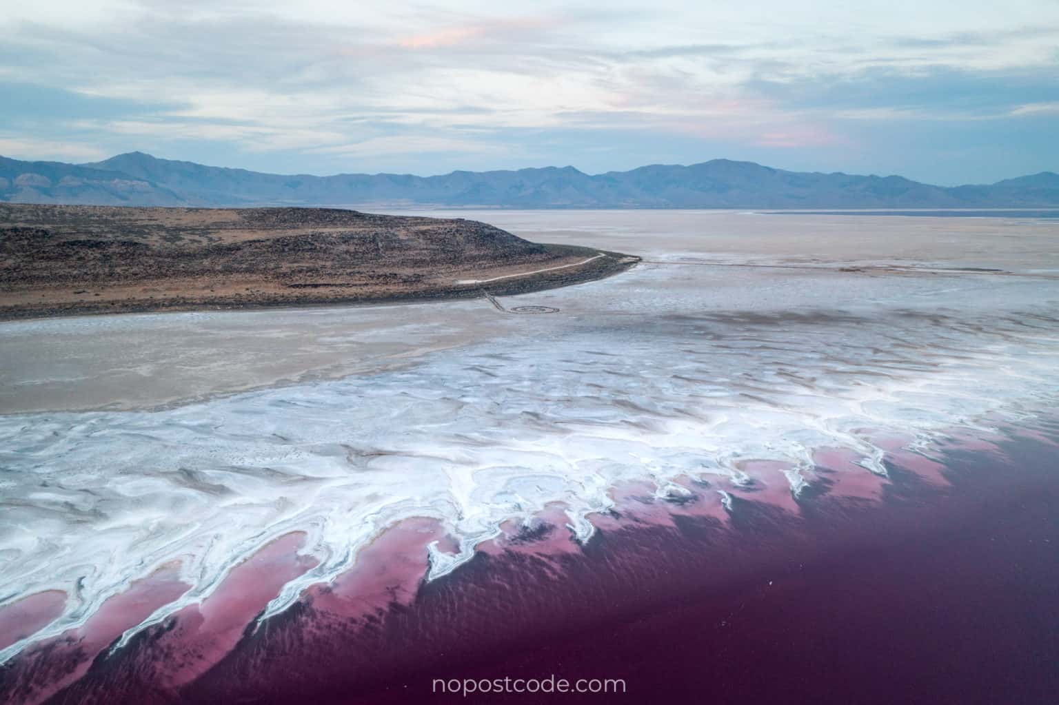
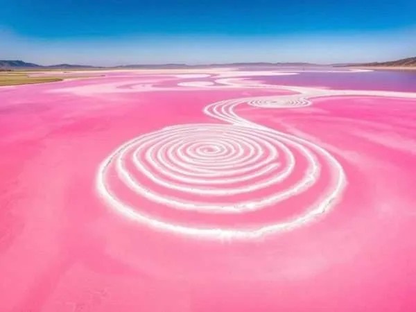
Great Salt Lake State ParkWinter on the Great Salt LakeDrone view of the lakeStansbury IslandSpiral Jetty, Robert SmithsonSpiral Jetty from the airSpiral Jetty and the pink waterSpiral Jetty reaching into the pink lake
From the Plane
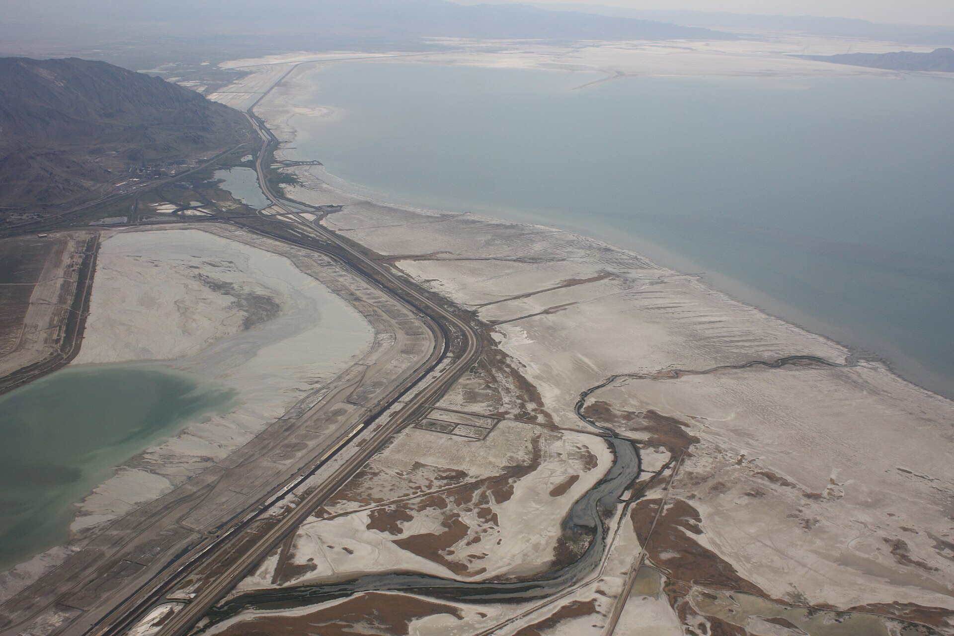
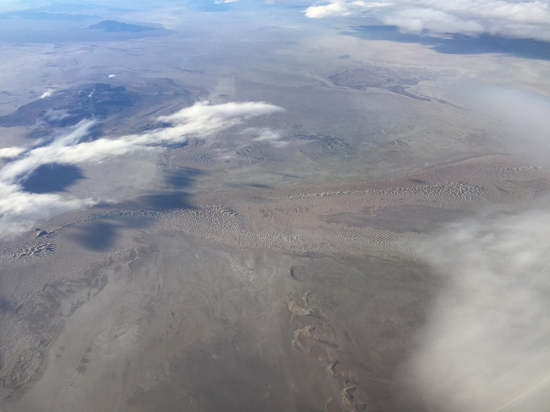
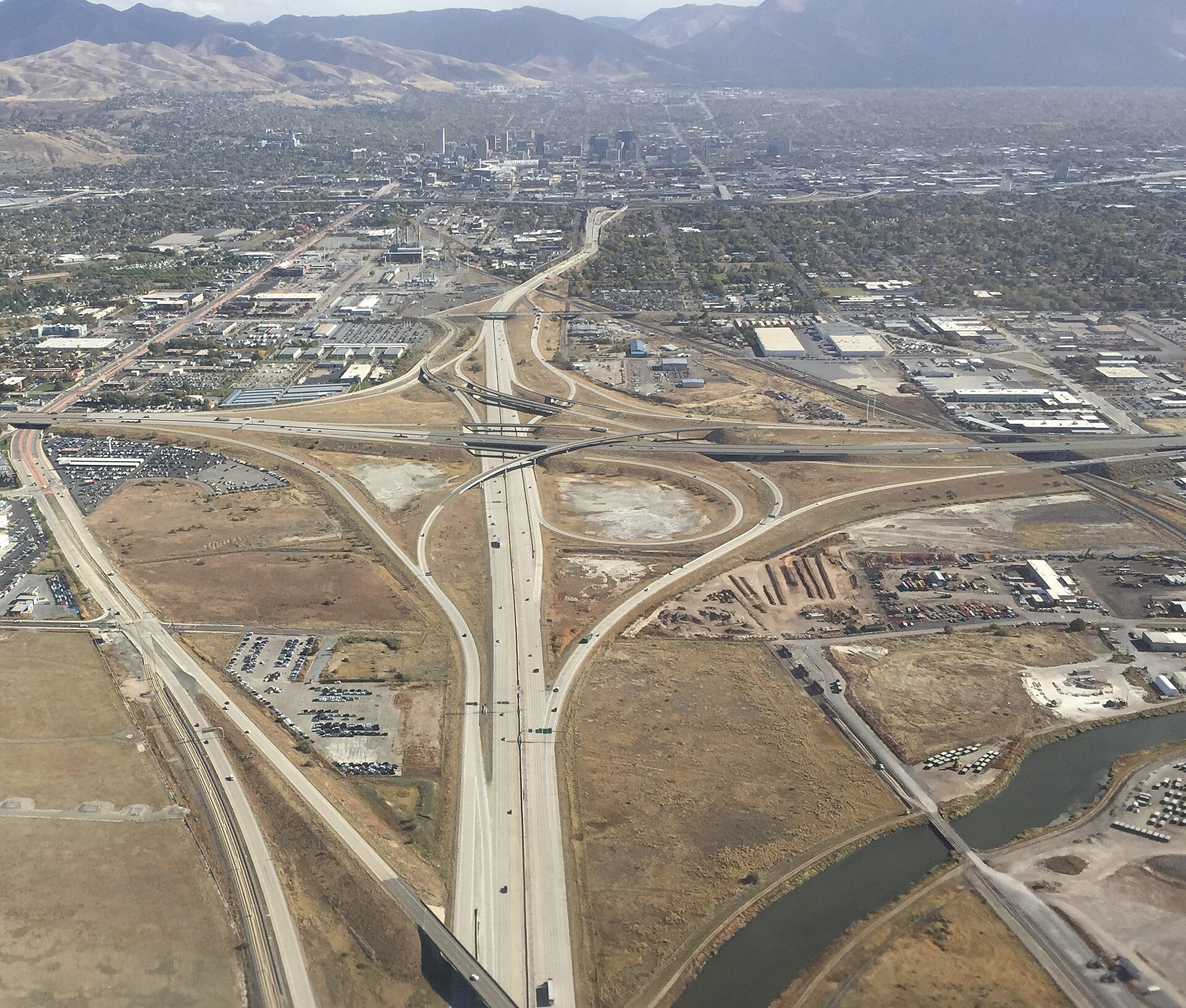
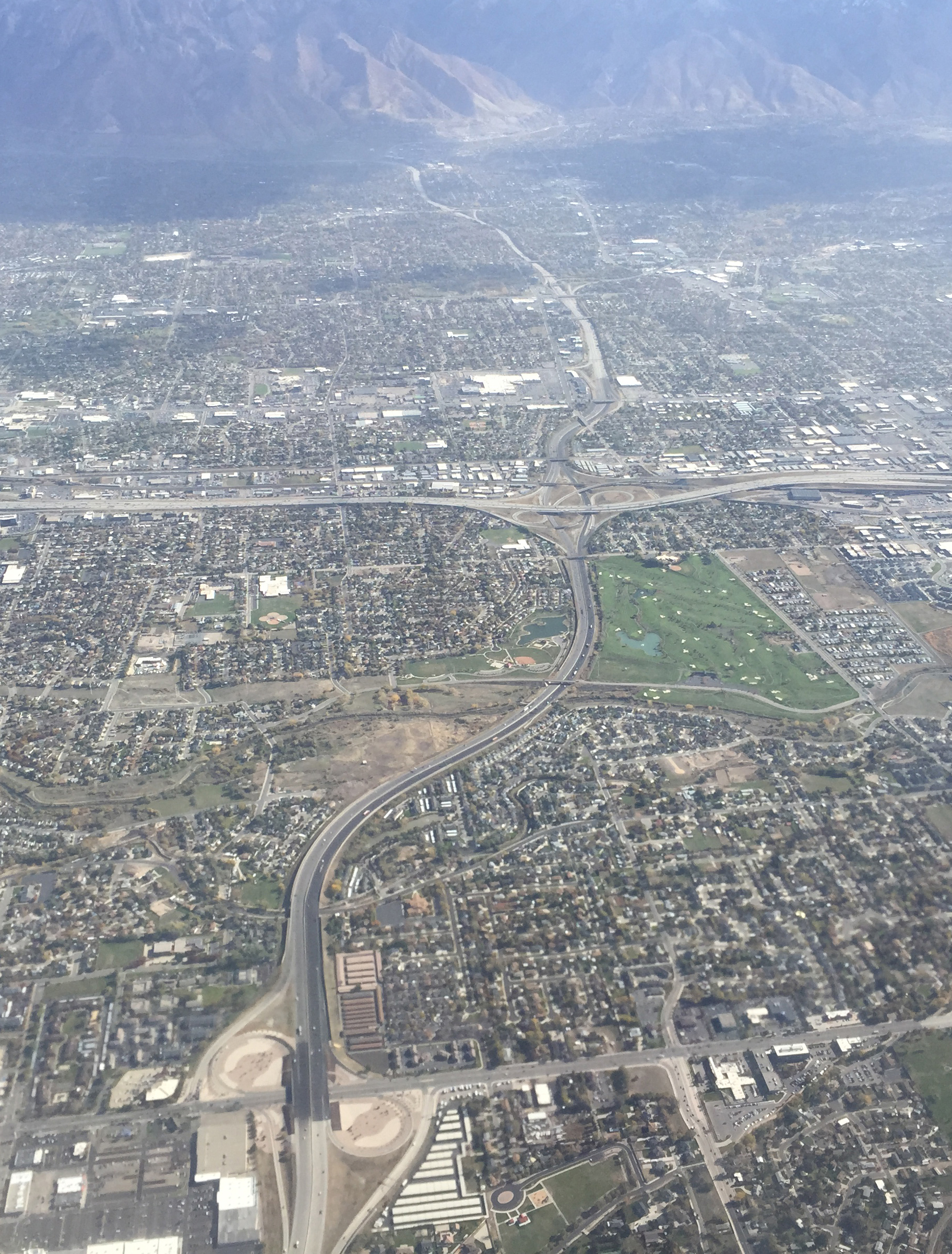
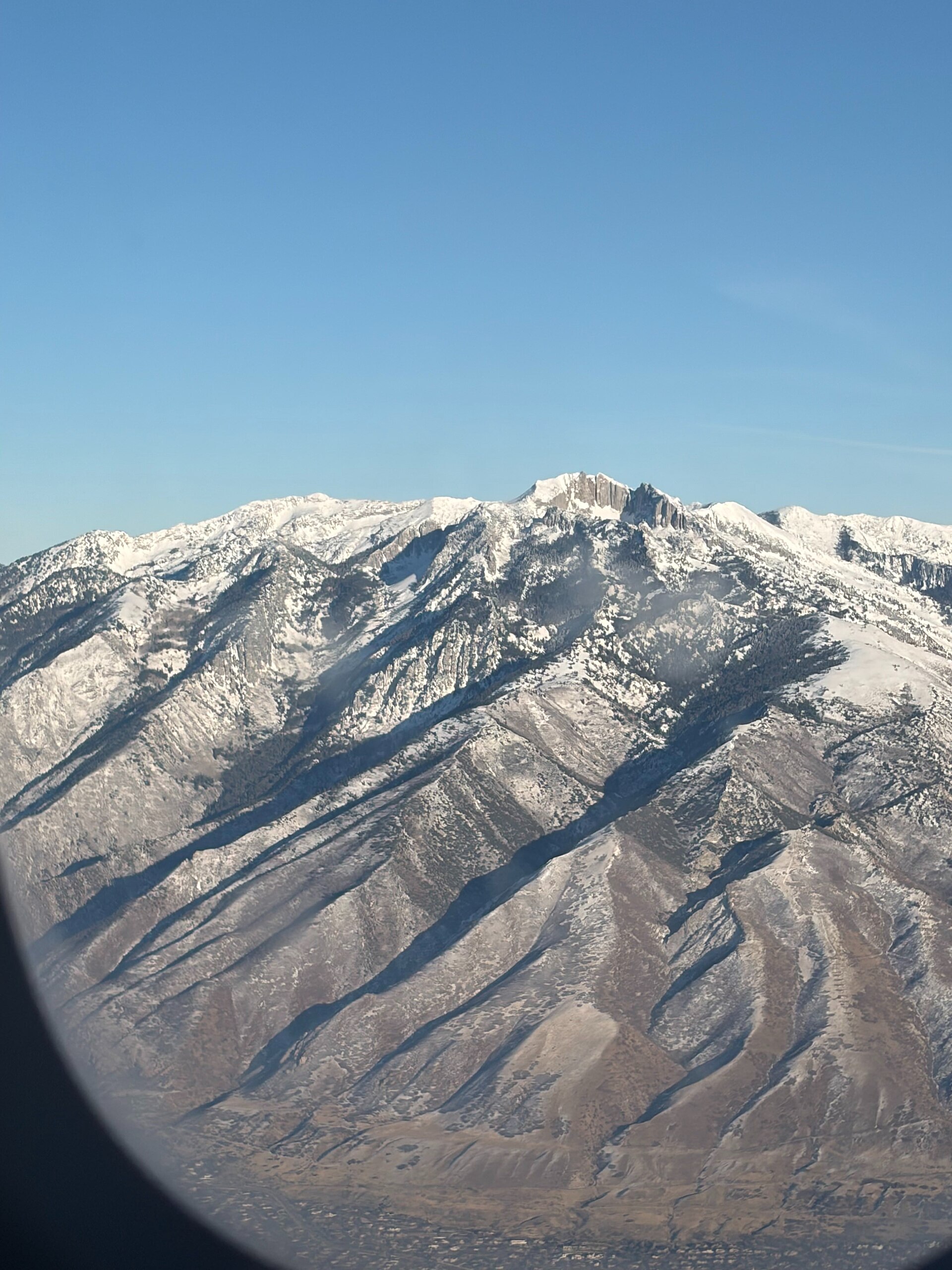
The lake and Interstate 80 from the planePhoto: David Herrera, CC BY 2.0From the plane: water flowing into Stansbury BayPhoto: Famartin, CC BY-SA 4.0 · Satellite view in Google MapsFrom the plane: Stansbury Bay and the main lakePhoto: Famartin, CC BY-SA 4.0 · Satellite view in Google MapsFrom the plane: the central lakePhoto: Famartin, CC BY-SA 4.0 · Satellite view in Google MapsFrom the plane: the central lake, farther onPhoto: Famartin, CC BY-SA 4.0 · Satellite view in Google MapsFrom the plane: the northwest lakePhoto: Famartin, CC BY-SA 4.0 · Satellite view in Google MapsFrom the plane: the northwest lake, farther onPhoto: Famartin, CC BY-SA 4.0 · Satellite view in Google MapsFrom the plane: the Utah Test Range in the Great Salt Lake DesertPhoto: Famartin, CC BY-SA 4.0 · Satellite view in Google MapsFrom the plane: taking off, with downtown Salt Lake City aheadPhoto: Famartin, CC BY-SA 4.0 · Satellite view in Google MapsFrom the plane: Interstate 215 and Interstate 15 south of the cityPhoto: Famartin, CC BY-SA 4.0 · Satellite view in Google MapsThe Wasatch Range through an airplane windowPhoto: Alexis Doine, CC0