Salt Lake City

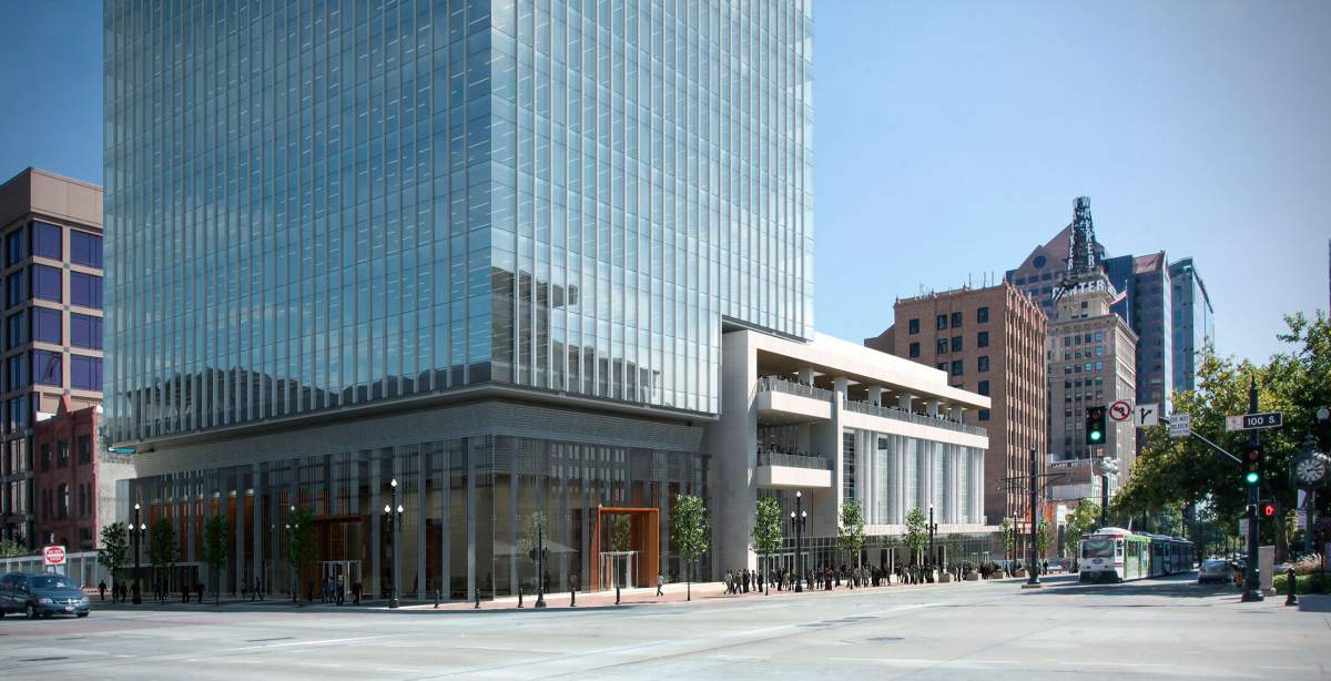
We met at the 111 Main building.

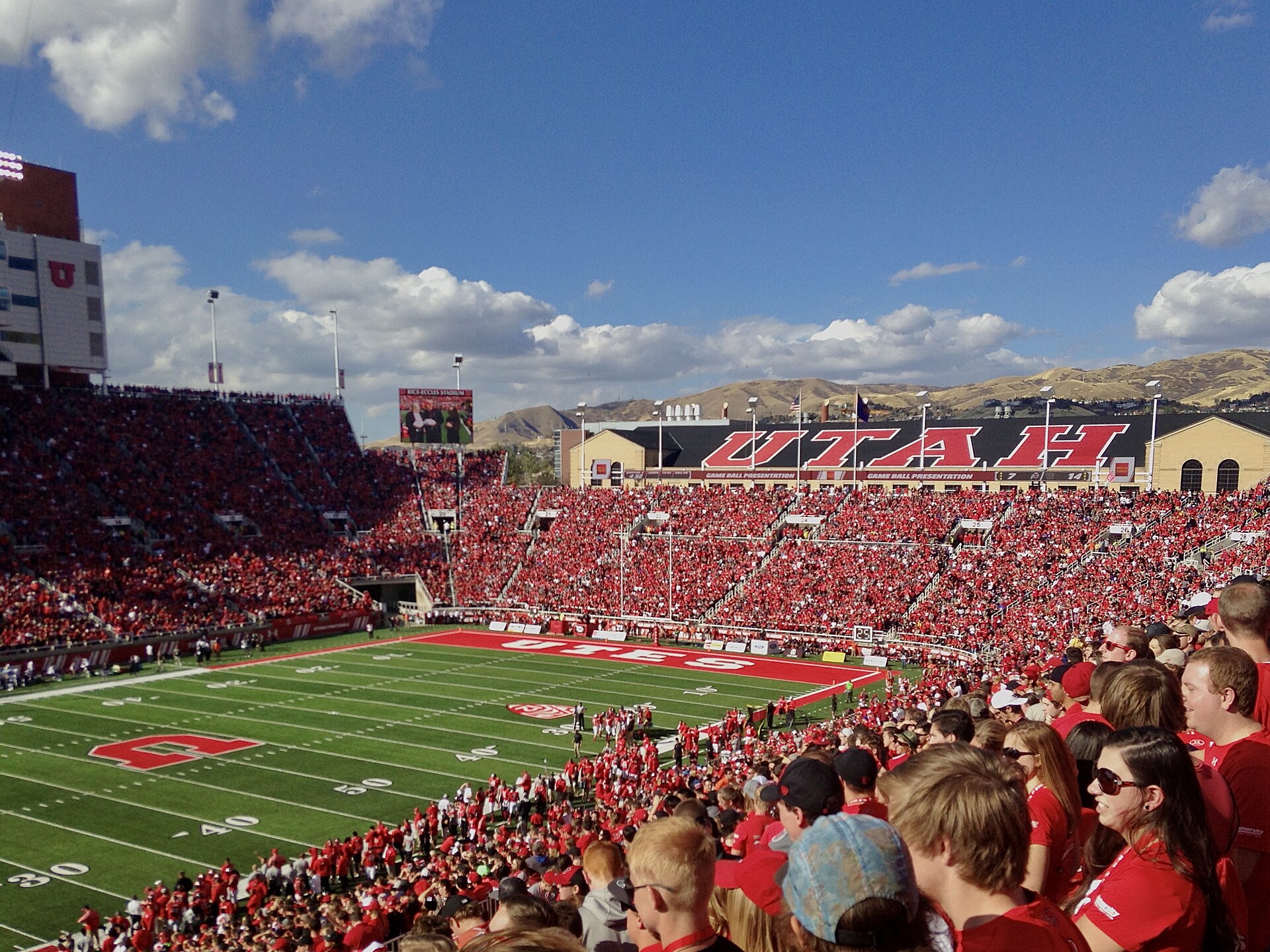
BYU and Utah played yesterday in the city.

74 photos · tap any photo to swipe through the album

The City

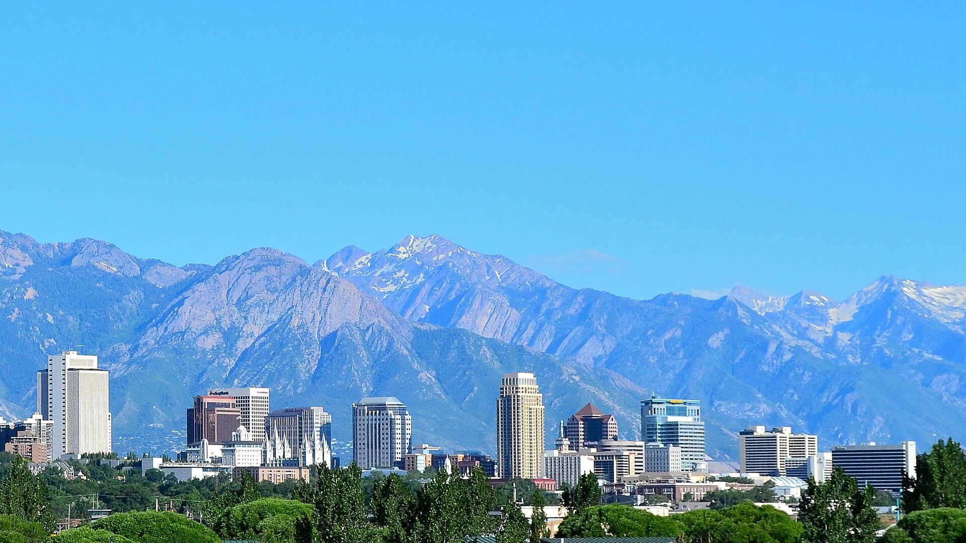
Downtown Salt Lake City and the Wasatch Range
Downtown Salt Lake City and the Wasatch RangePhoto: Garrett from Salt Lake City, CC BY 2.0
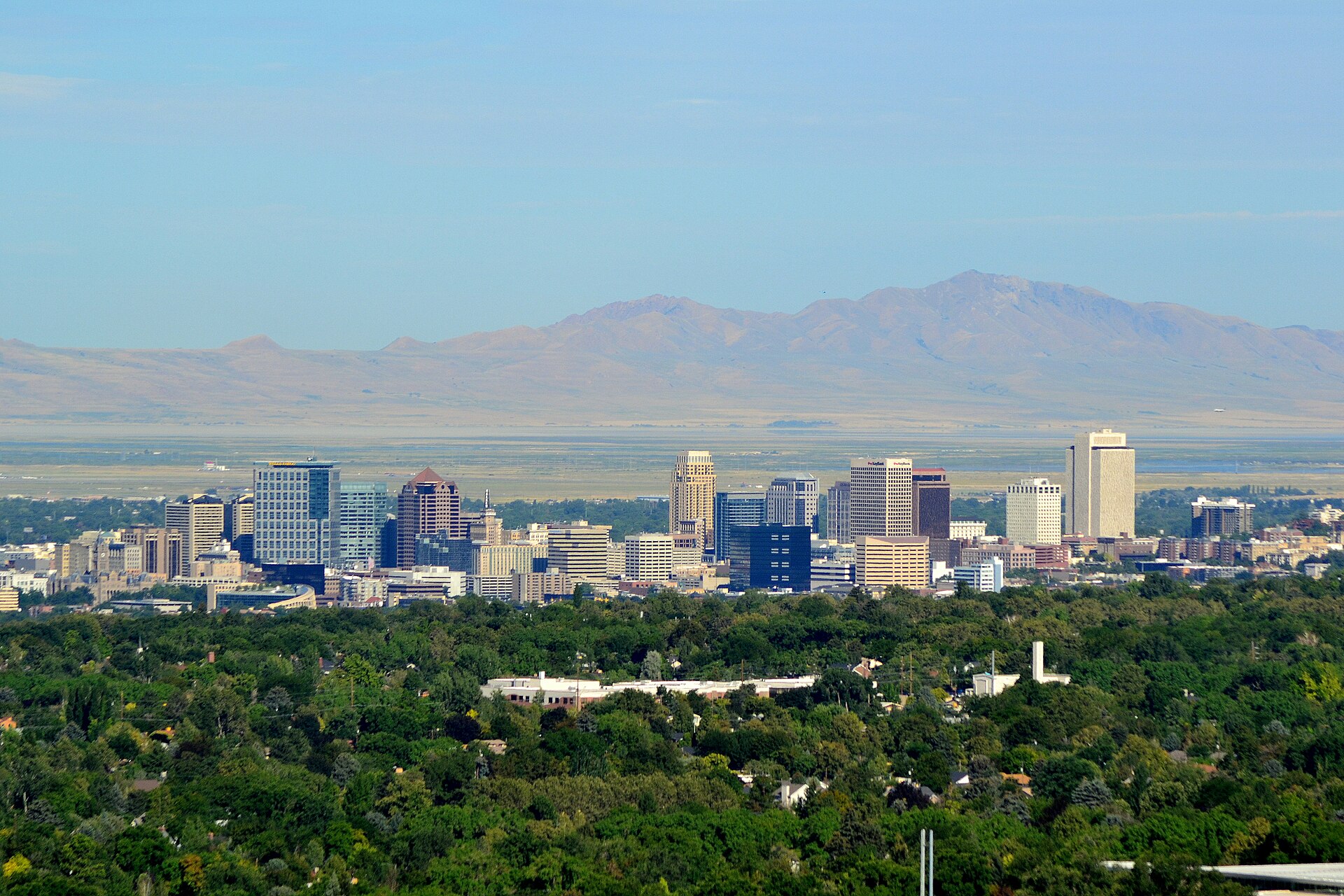
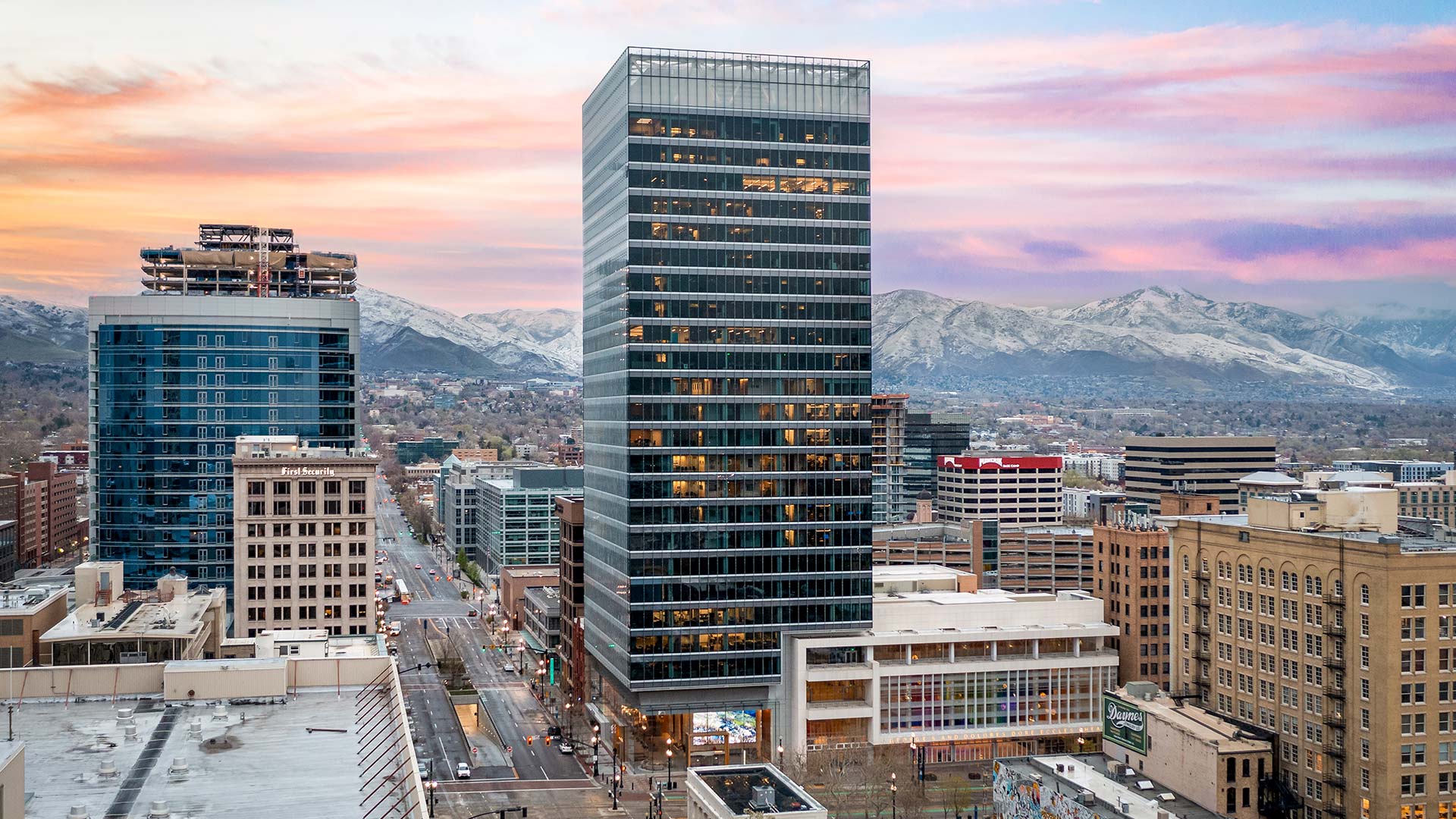
Downtown skyline in daylight
Downtown skyline in daylightPhoto: Garrett, CC BY 2.0
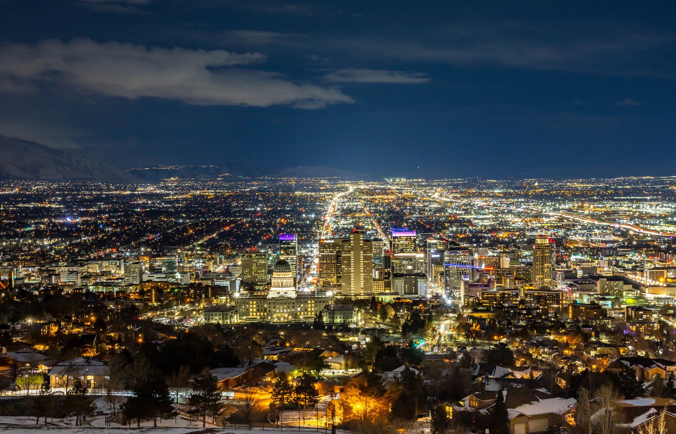
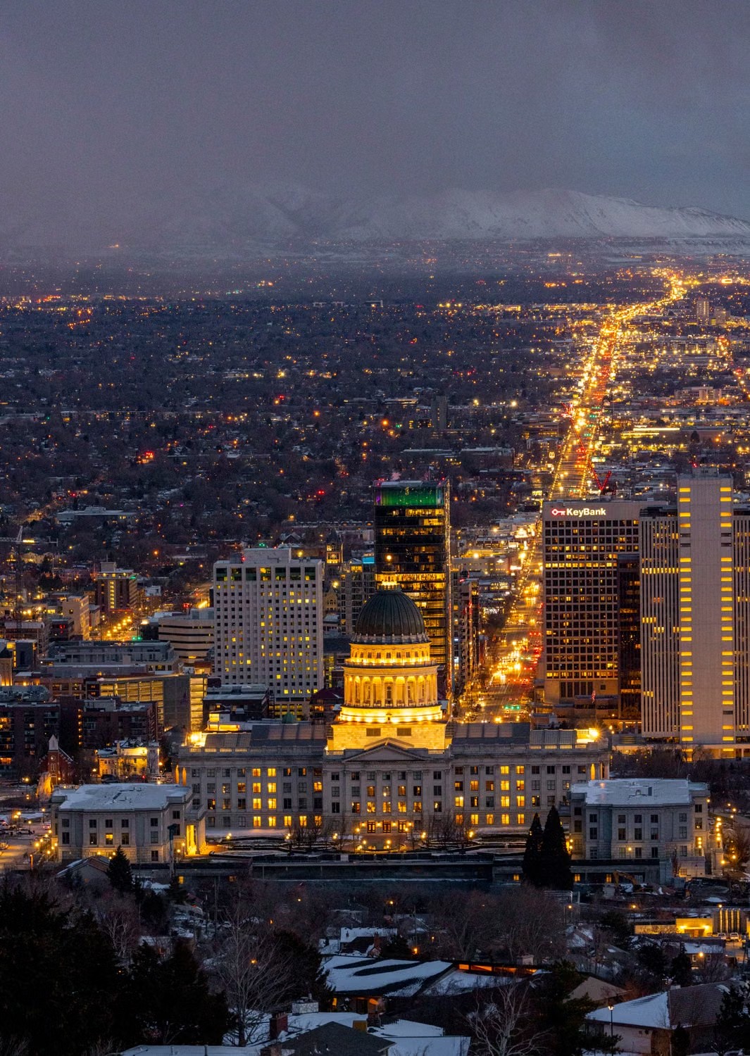
Downtown Salt Lake City at night
Utah State Capitol at dusk
111 Main
111 Main
Heart of downtown
Heart of downtown
Rice-Eccles Stadium, Utah's home field

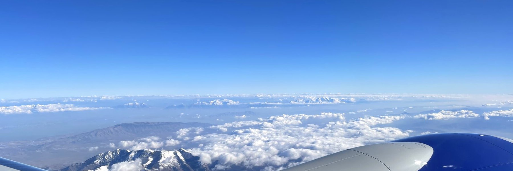
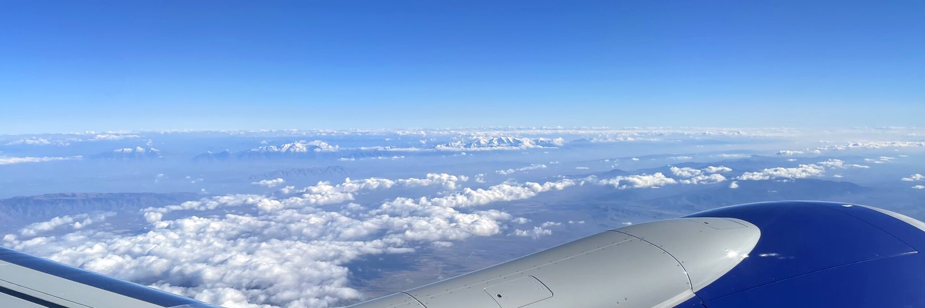
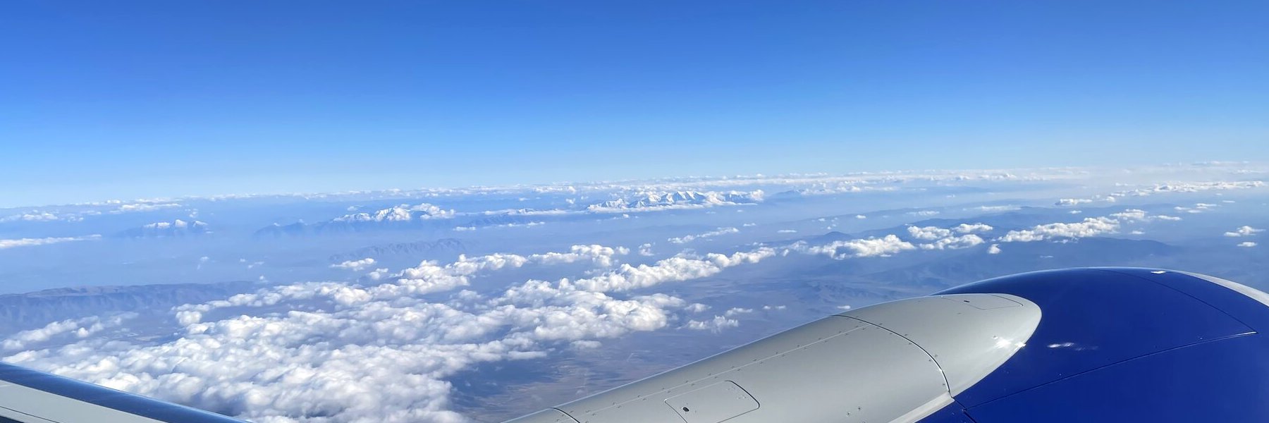
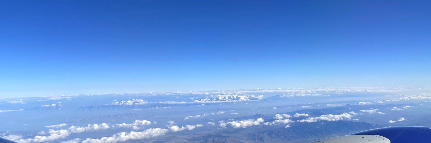
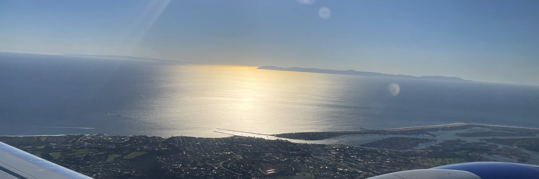
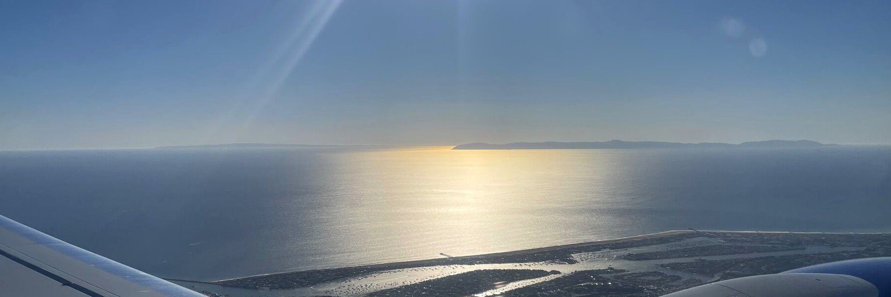
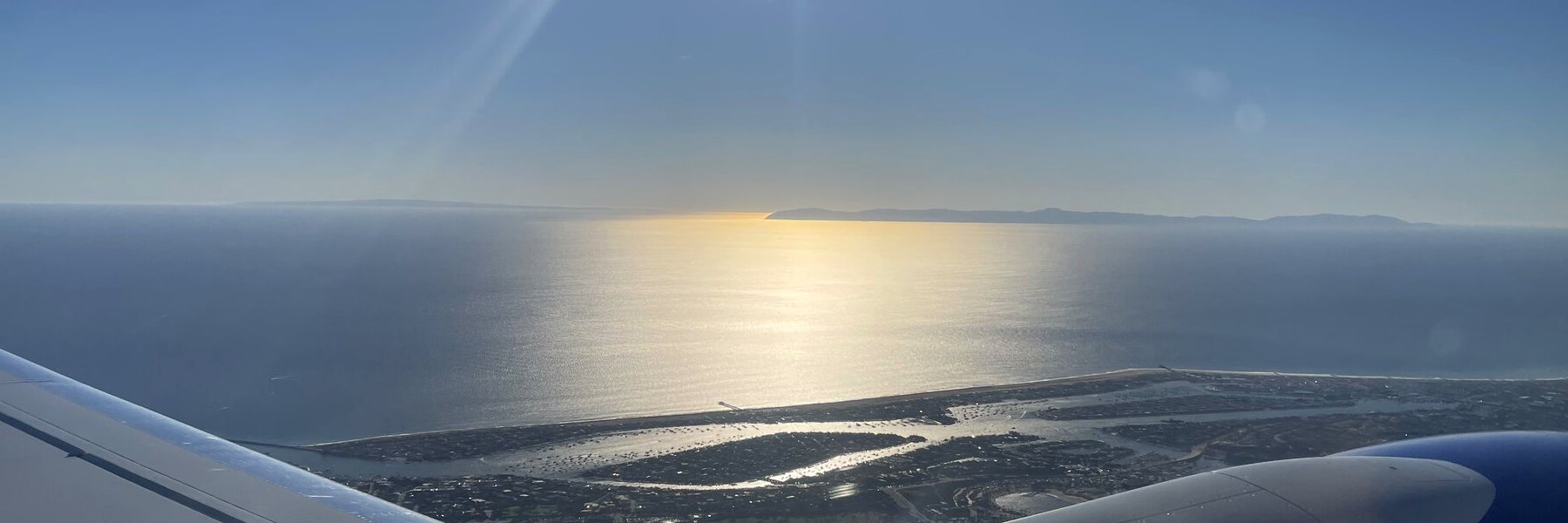
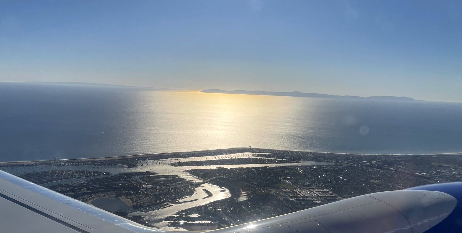
Flying Home to Los Angeles

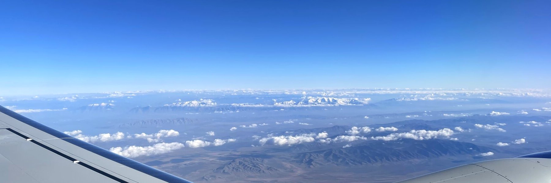
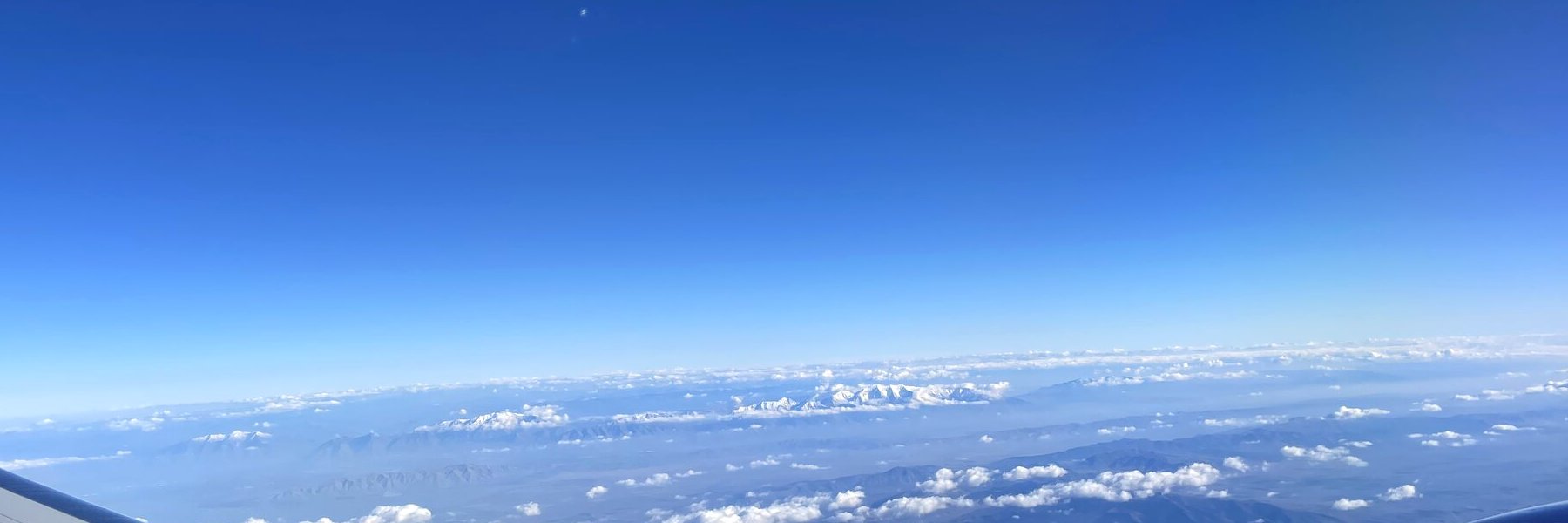
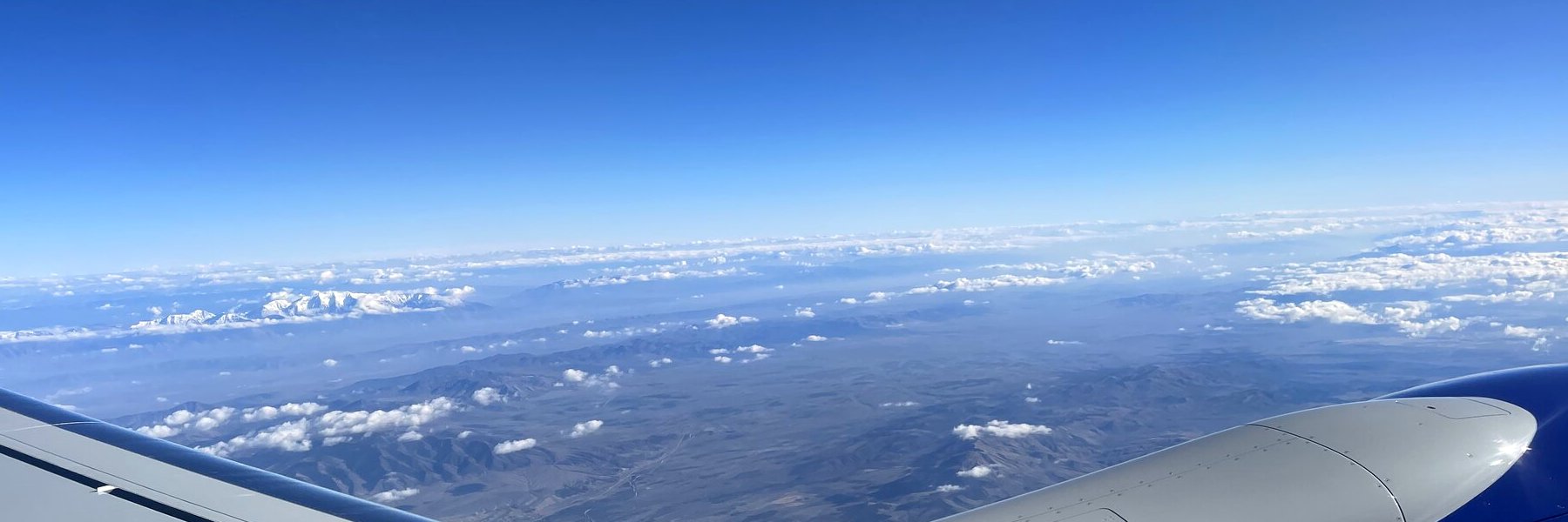
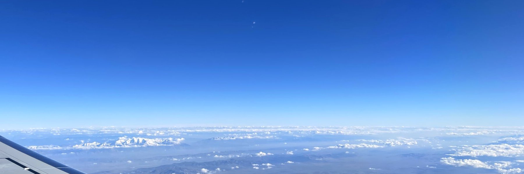
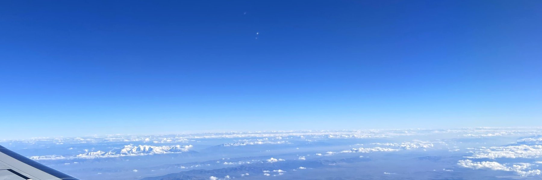
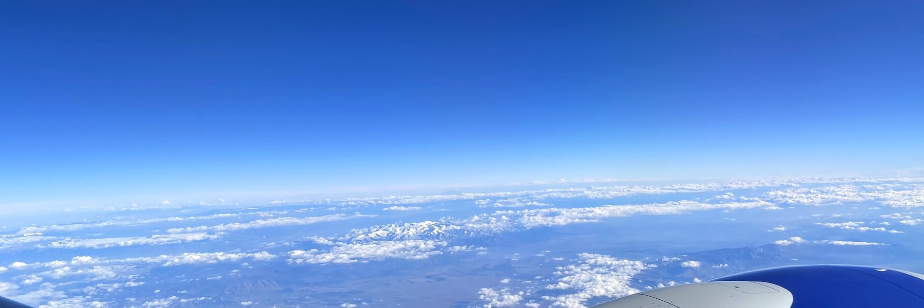
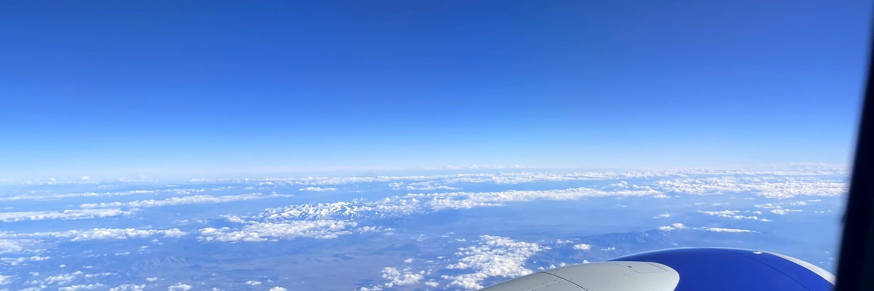
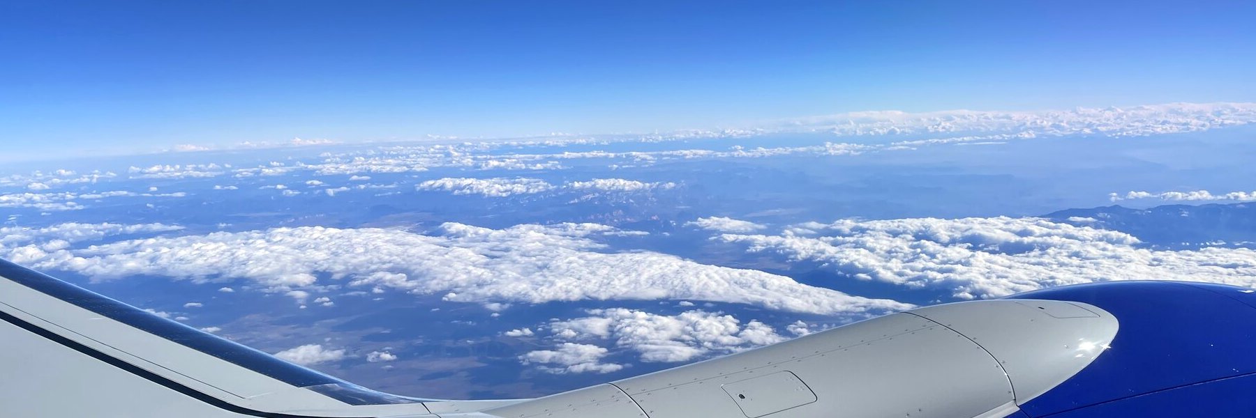
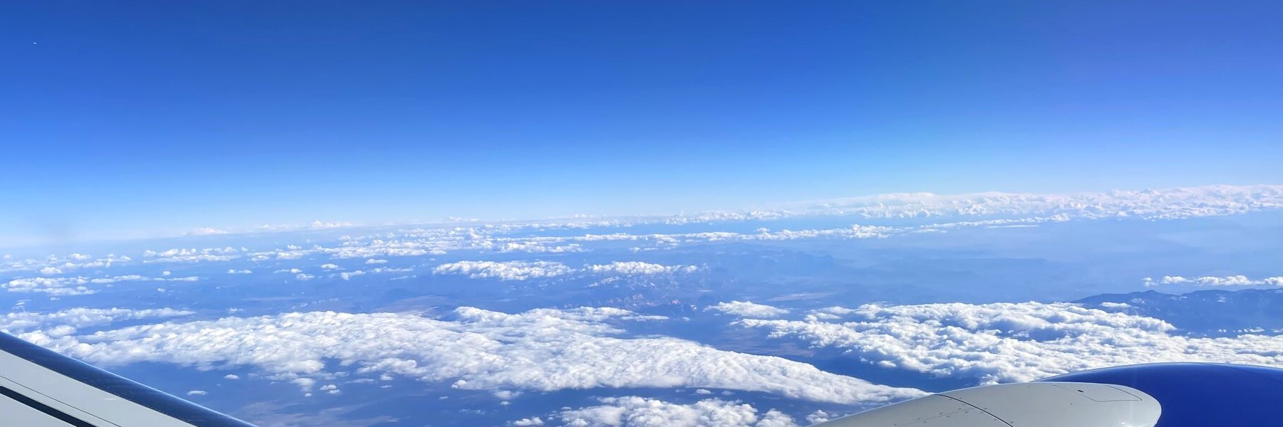
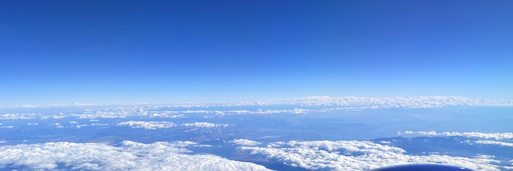
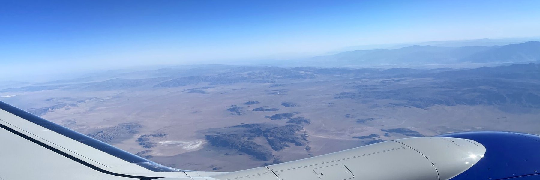
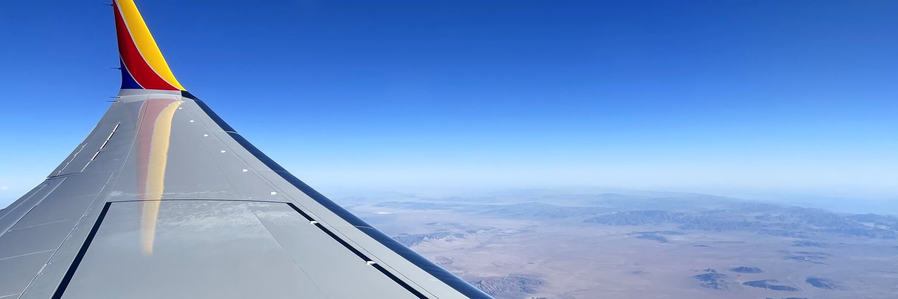
Friday, 6 November 2026. Photos from the window, trimmed to show the scenery rather than the wing and engine.
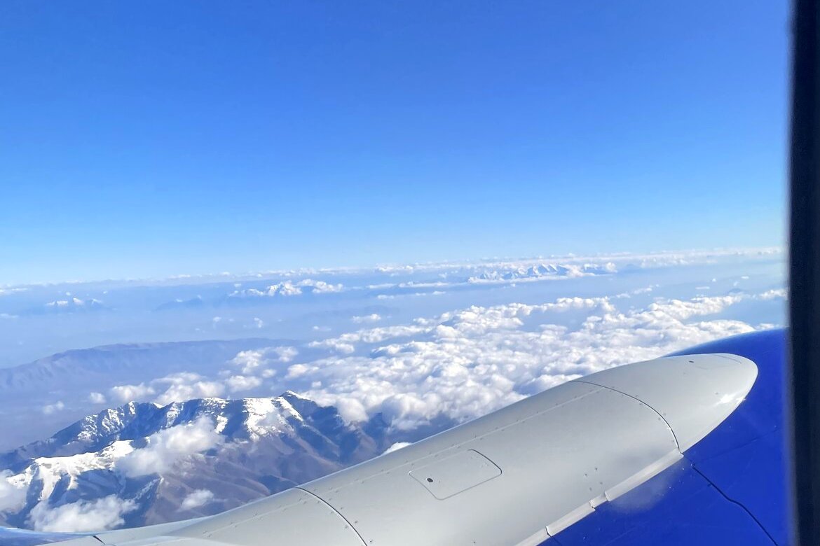
Over the clouds

Over the clouds
Over the cloudsOn the flight home, 6 November 2026
Over the clouds
Over the cloudsOn the flight home, 6 November 2026
Over the clouds
Over the cloudsOn the flight home, 6 November 2026
Over the clouds
Over the cloudsOn the flight home, 6 November 2026
Over the clouds
Over the cloudsOn the flight home, 6 November 2026
Over the clouds
Over the cloudsOn the flight home, 6 November 2026
Over the clouds
Over the cloudsOn the flight home, 6 November 2026
Over the clouds
Over the cloudsOn the flight home, 6 November 2026
Over the clouds
Over the cloudsOn the flight home, 6 November 2026
Over the clouds
Over the cloudsOn the flight home, 6 November 2026
Over the clouds
Over the cloudsOn the flight home, 6 November 2026
Over the clouds
Over the cloudsOn the flight home, 6 November 2026
Over the clouds
Over the cloudsOn the flight home, 6 November 2026
Over the clouds
Over the cloudsOn the flight home, 6 November 2026
Over the clouds
Over the cloudsOn the flight home, 6 November 2026
Over the clouds
Over the cloudsOn the flight home, 6 November 2026

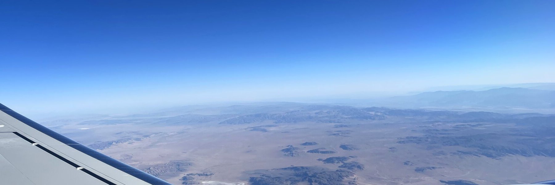
Across the desert

Across the desert
Across the desertOn the flight home, 6 November 2026
Across the desert
Across the desertOn the flight home, 6 November 2026
Across the desert
Across the desertOn the flight home, 6 November 2026
Across the desert
Across the desertOn the flight home, 6 November 2026
Across the desert
Across the desertOn the flight home, 6 November 2026

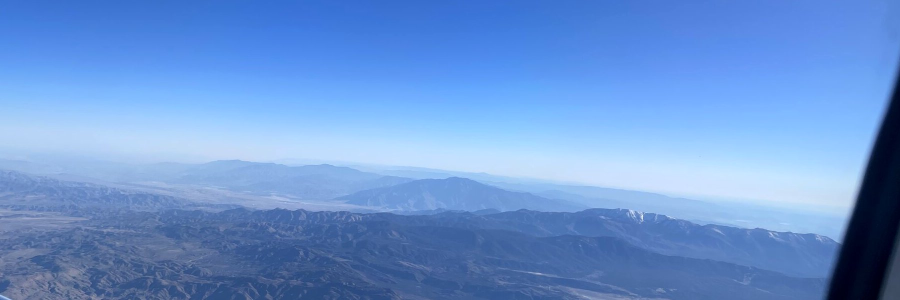
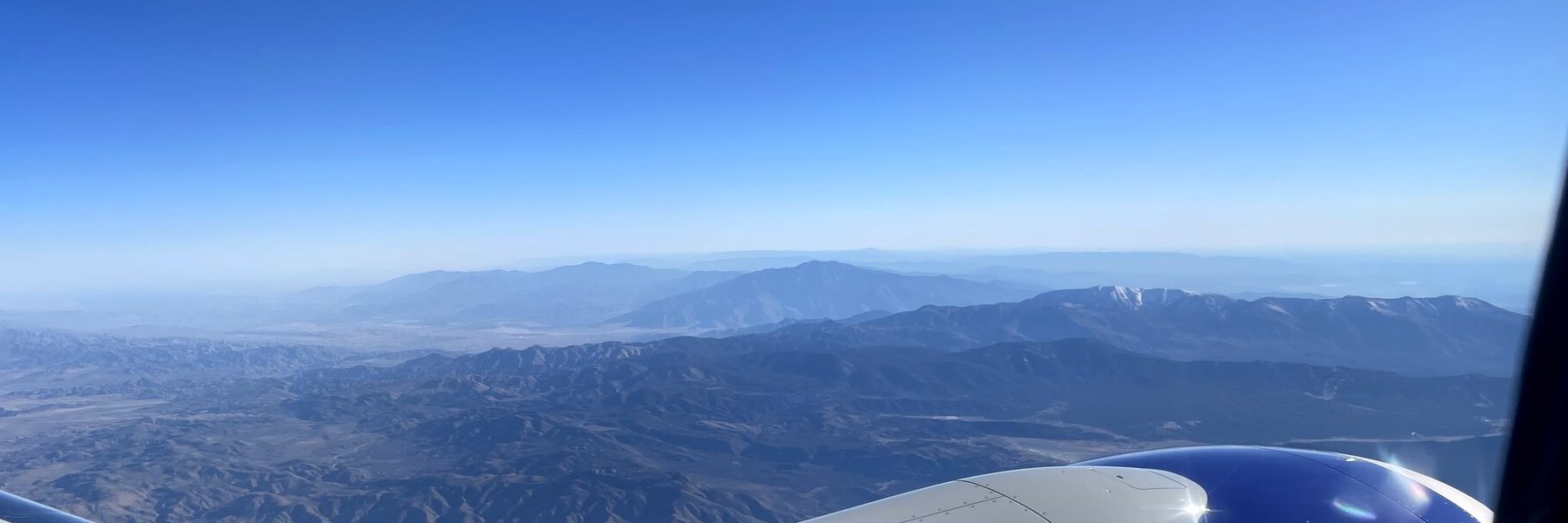
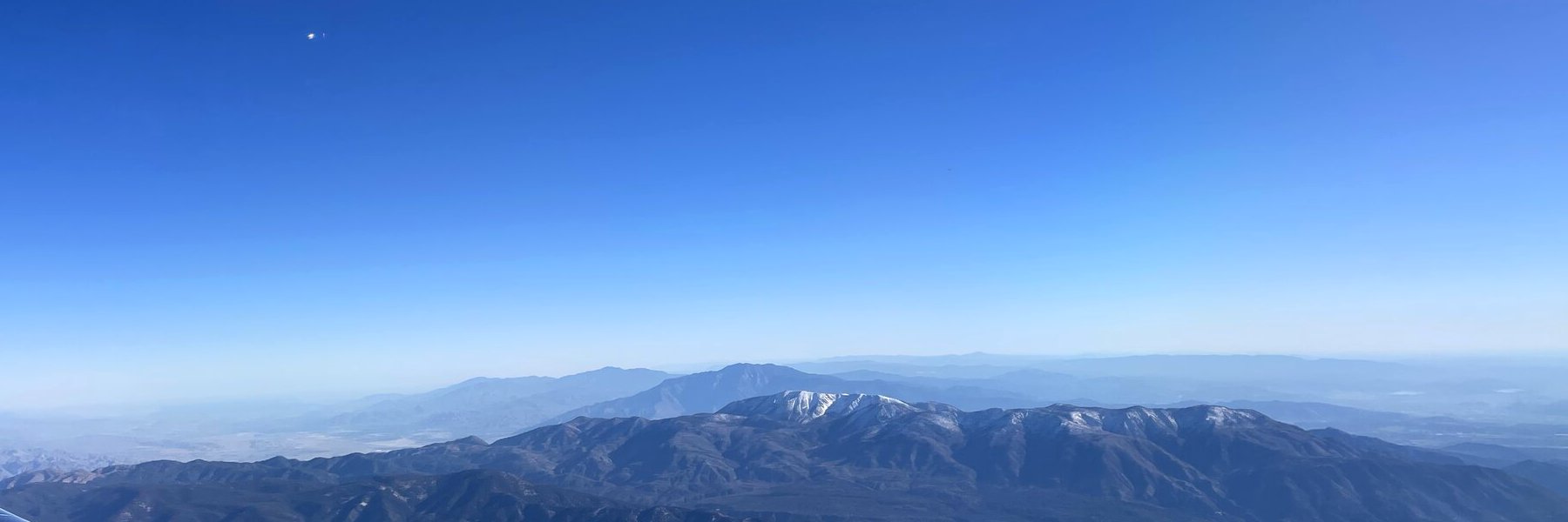
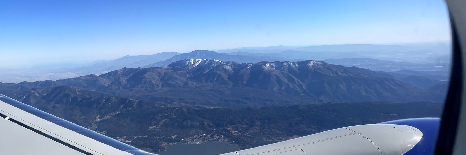
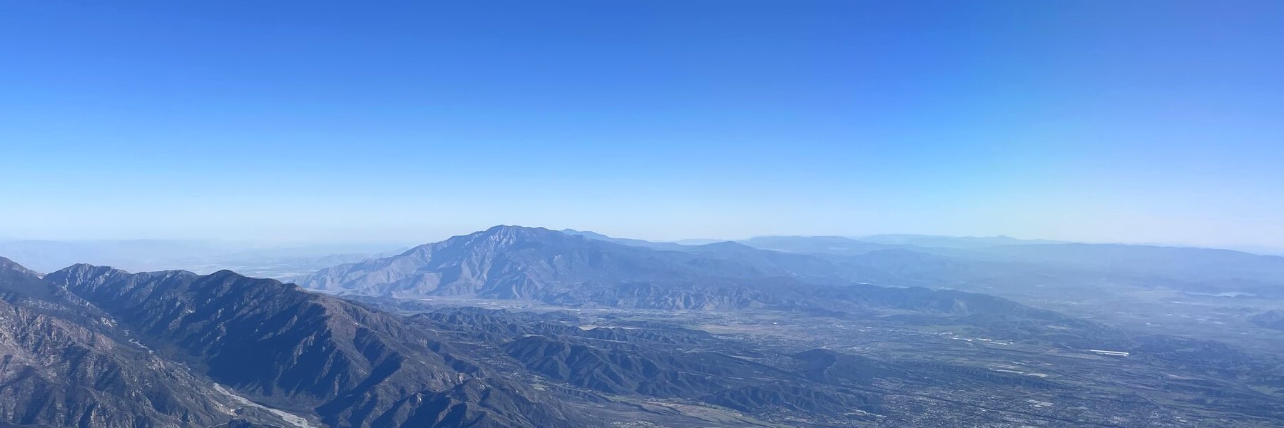
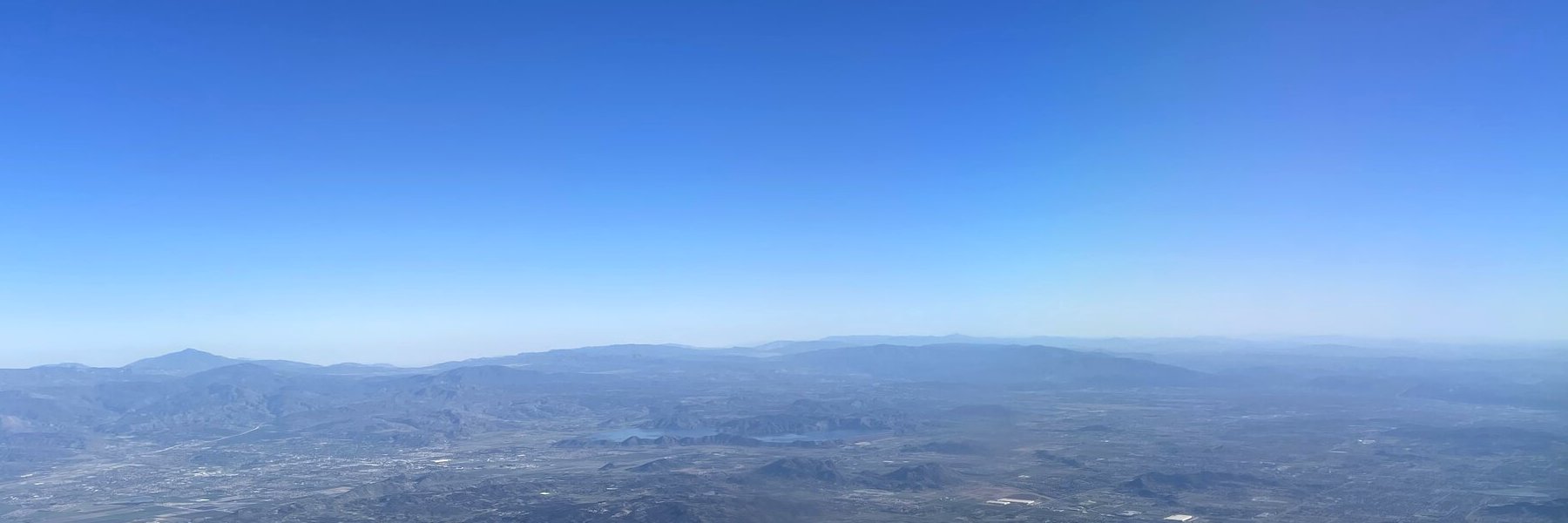
Mountains near Los Angeles

Mountains near Los Angeles
Mountains near Los AngelesOn the flight home, 6 November 2026
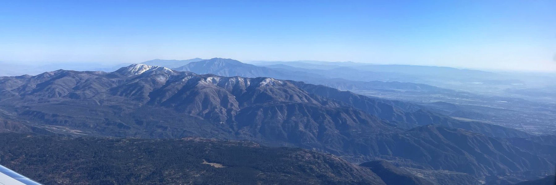
Mountains near Los Angeles
Mountains near Los AngelesOn the flight home, 6 November 2026
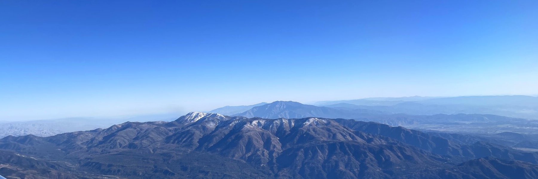
Mountains near Los Angeles
Mountains near Los AngelesOn the flight home, 6 November 2026
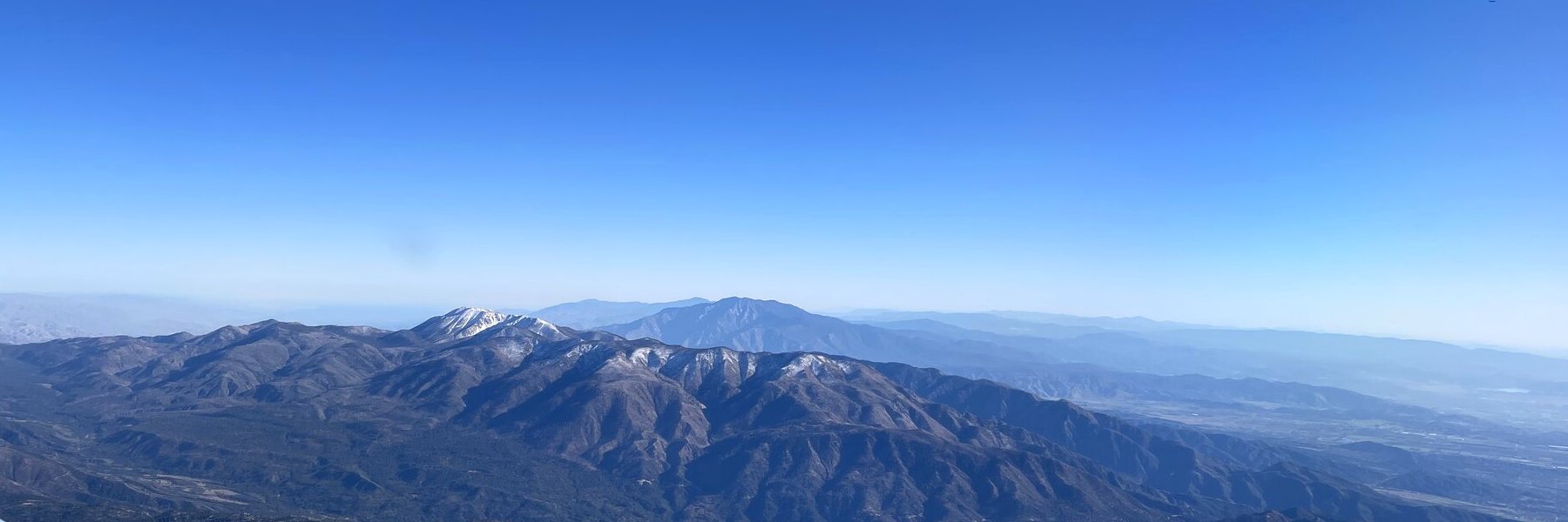
Mountains near Los Angeles
Mountains near Los AngelesOn the flight home, 6 November 2026
Mountains near Los Angeles
Mountains near Los AngelesOn the flight home, 6 November 2026
Mountains near Los Angeles
Mountains near Los AngelesOn the flight home, 6 November 2026
Mountains near Los Angeles
Mountains near Los AngelesOn the flight home, 6 November 2026

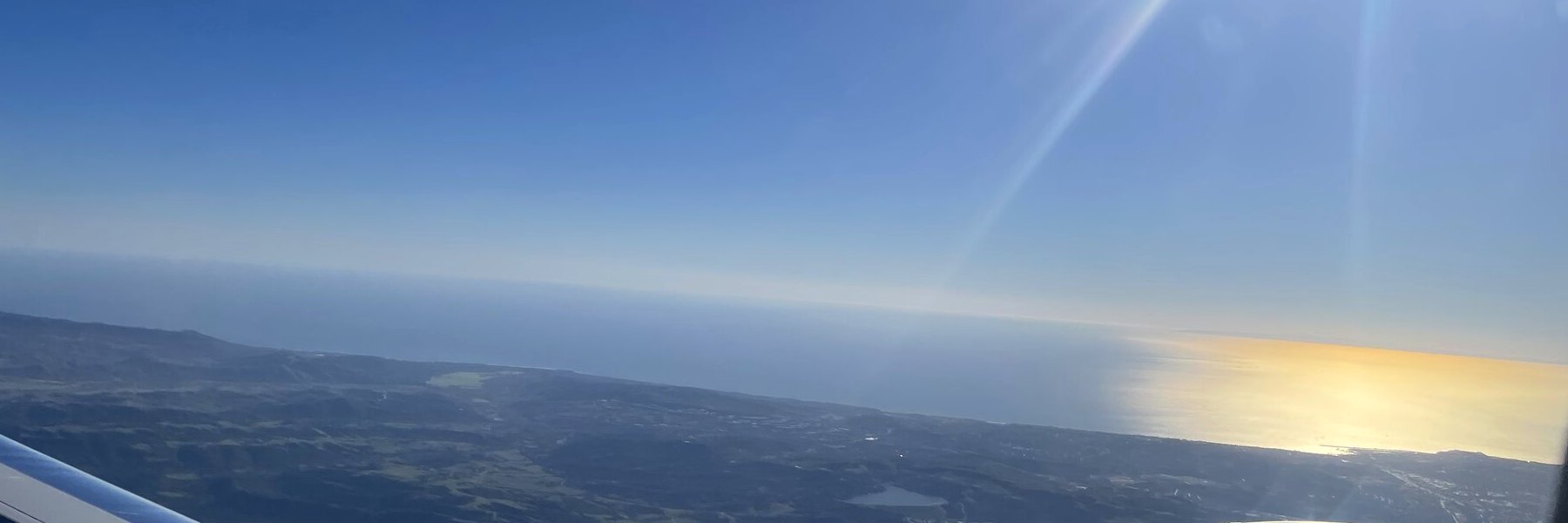
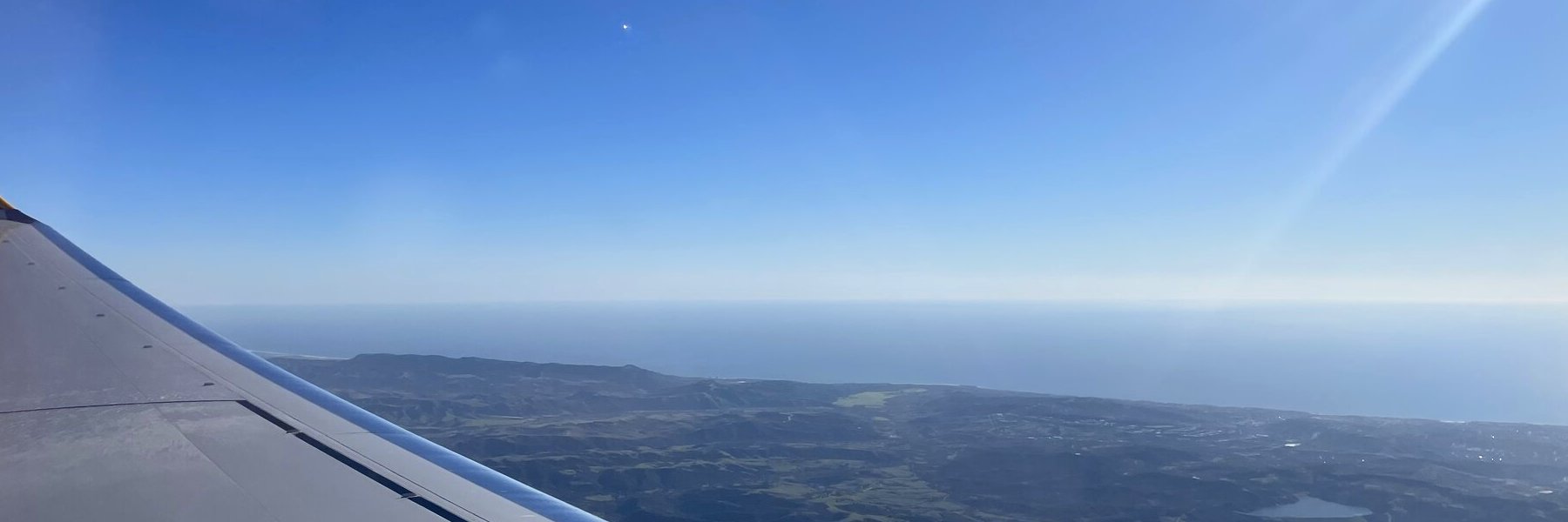
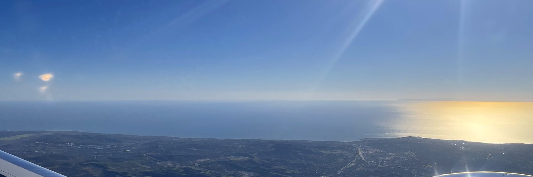
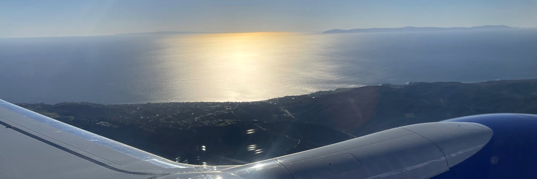
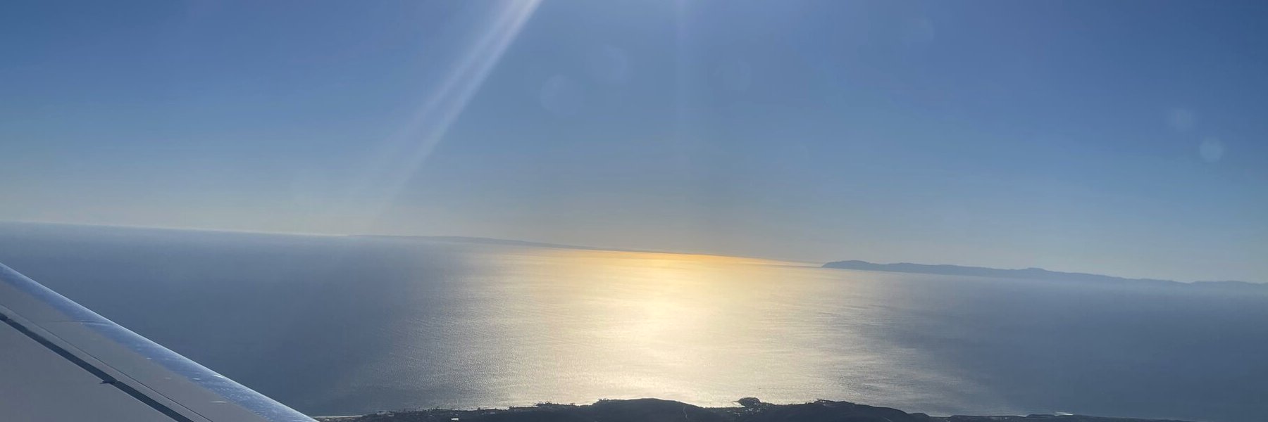
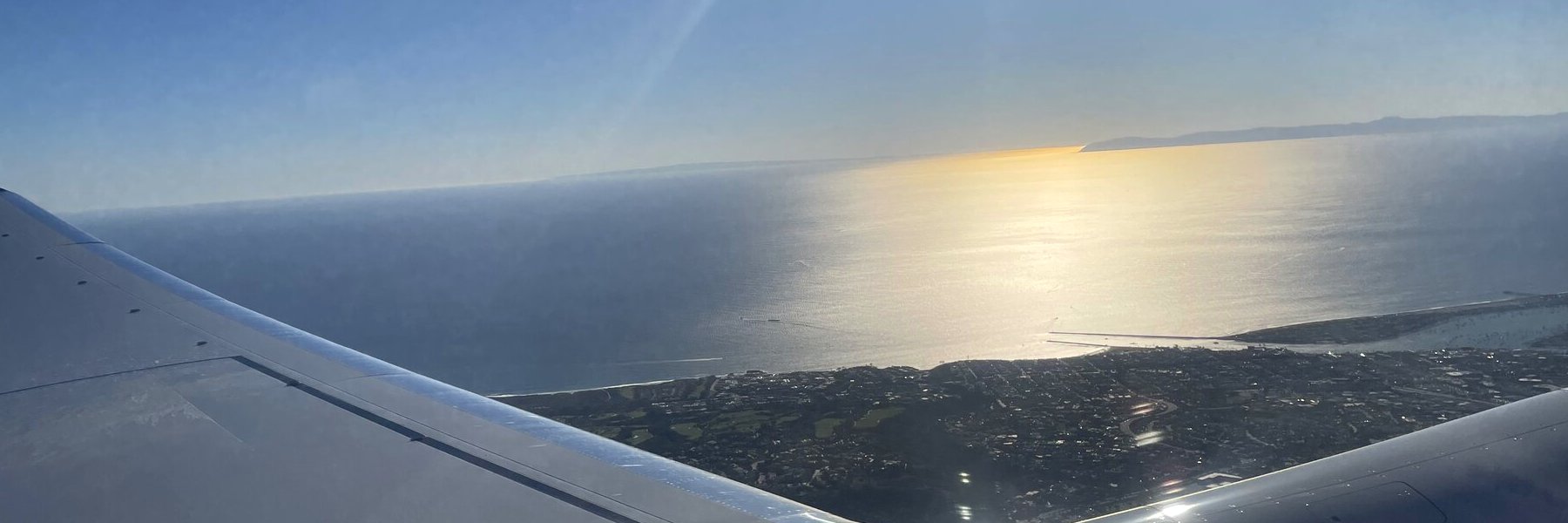
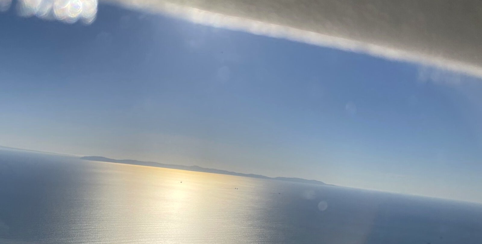
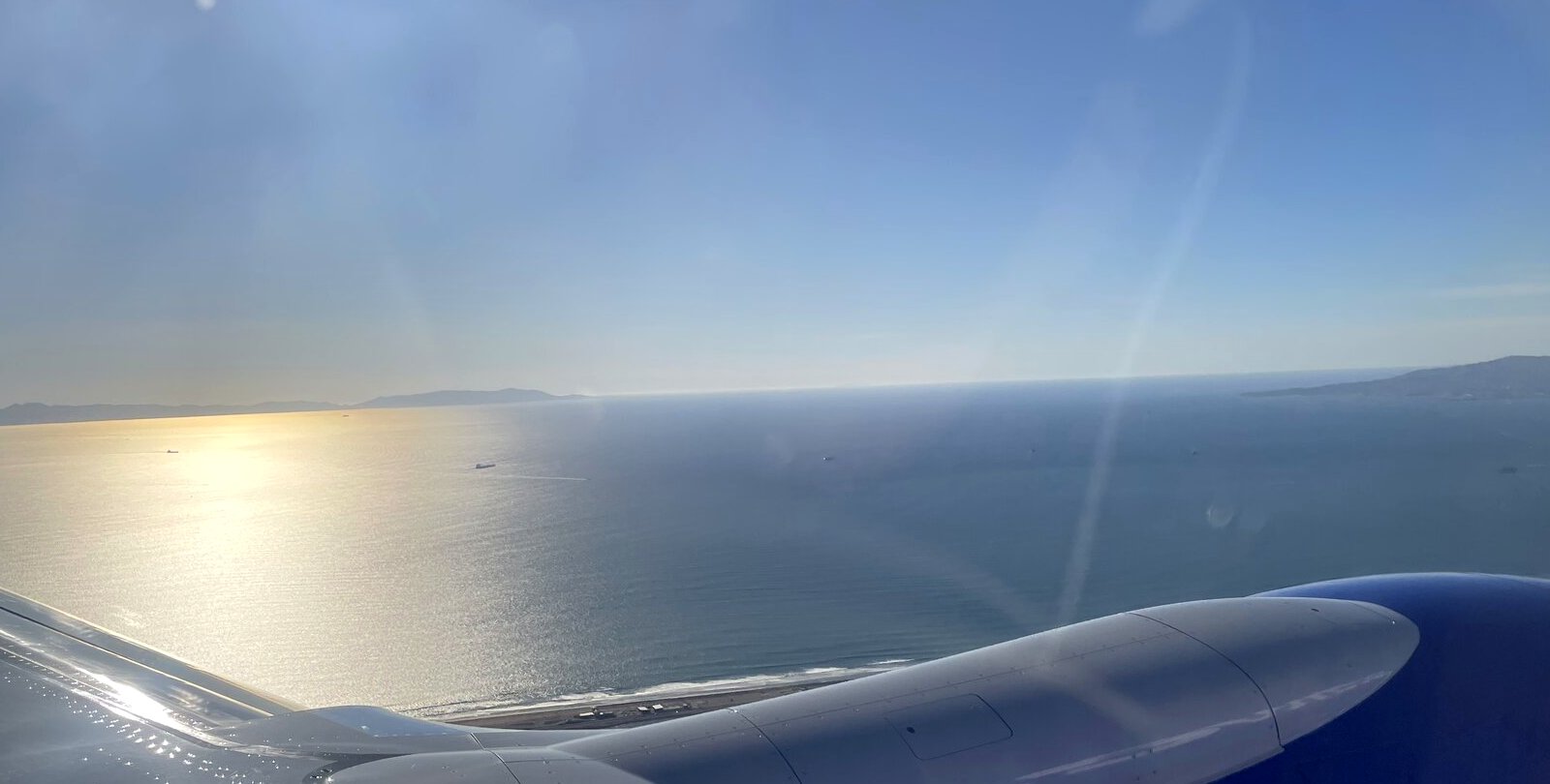
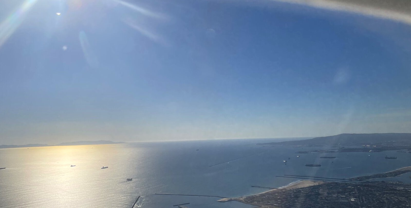
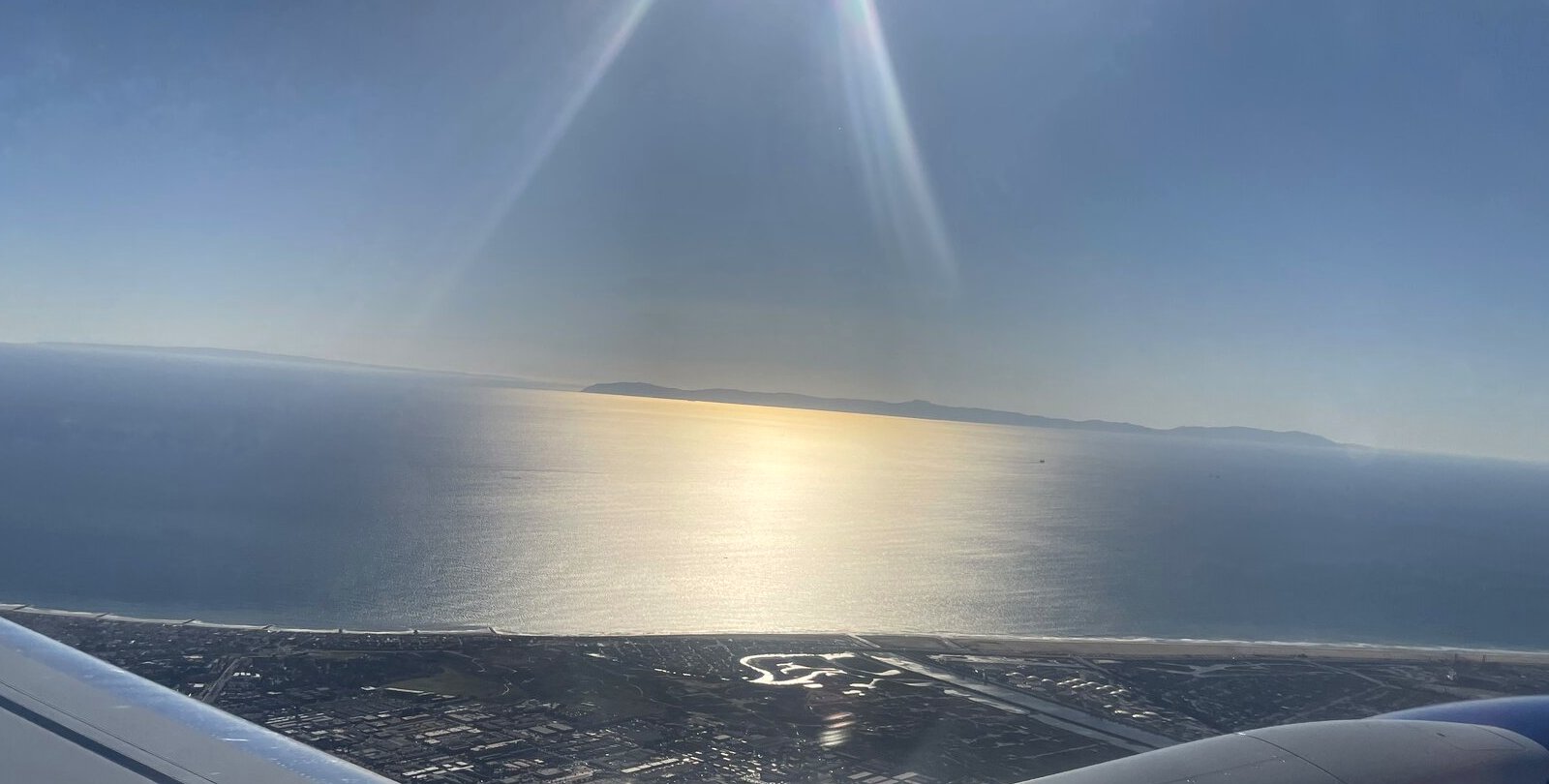
Along the coast

Along the coast
Along the coastOn the flight home, 6 November 2026
Along the coast
Along the coastOn the flight home, 6 November 2026
Along the coast
Along the coastOn the flight home, 6 November 2026
Along the coast
Along the coastOn the flight home, 6 November 2026
Along the coast
Along the coastOn the flight home, 6 November 2026
Along the coast
Along the coastOn the flight home, 6 November 2026
Along the coast
Along the coastOn the flight home, 6 November 2026
Along the coast
Along the coastOn the flight home, 6 November 2026
Along the coast
Along the coastOn the flight home, 6 November 2026
Along the coast
Along the coastOn the flight home, 6 November 2026
Along the coast
Along the coastOn the flight home, 6 November 2026
Along the coast
Along the coastOn the flight home, 6 November 2026

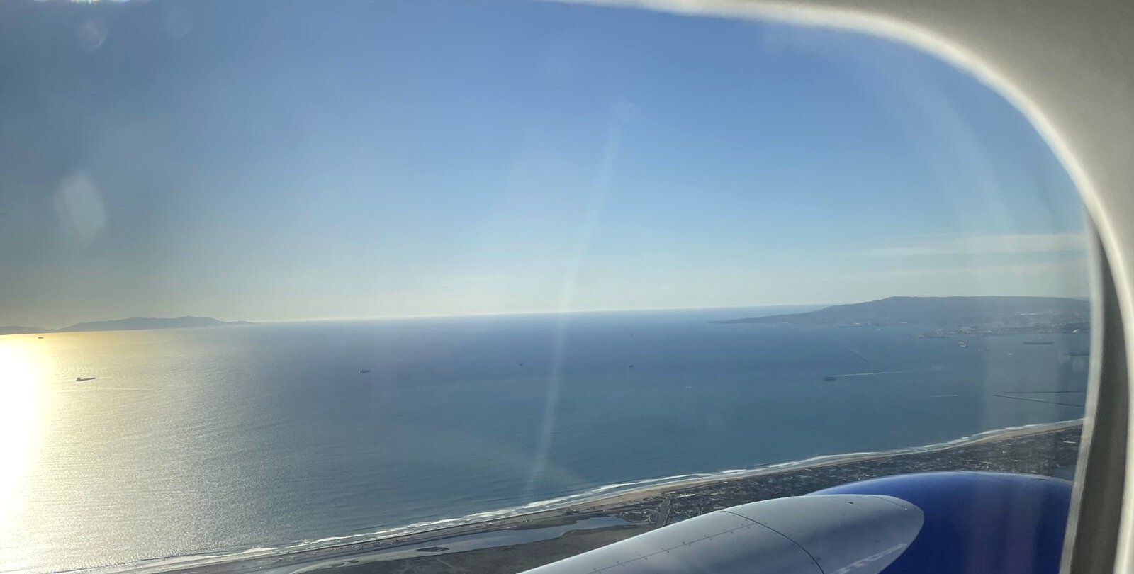
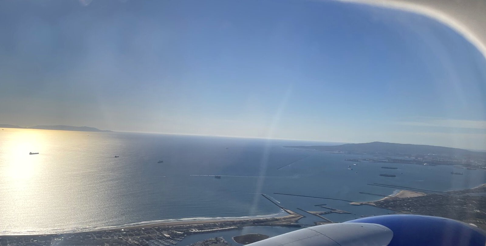
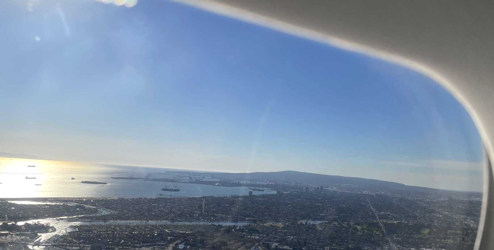
Down toward the harbor

Down toward the harbor
Down toward the harborOn the flight home, 6 November 2026
Down toward the harbor
Down toward the harborOn the flight home, 6 November 2026
Down toward the harbor
Down toward the harborOn the flight home, 6 November 2026
Down toward the harbor
Down toward the harborOn the flight home, 6 November 2026
Down toward the harbor
Down toward the harborOn the flight home, 6 November 2026
Down toward the harbor
Down toward the harborOn the flight home, 6 November 2026
Down toward the harbor
Down toward the harborOn the flight home, 6 November 2026
Down toward the harbor
Down toward the harborOn the flight home, 6 November 2026

Places along the route, in satellite view

These are the landmarks, with approximate coordinates. The photos themselves carry no location data.
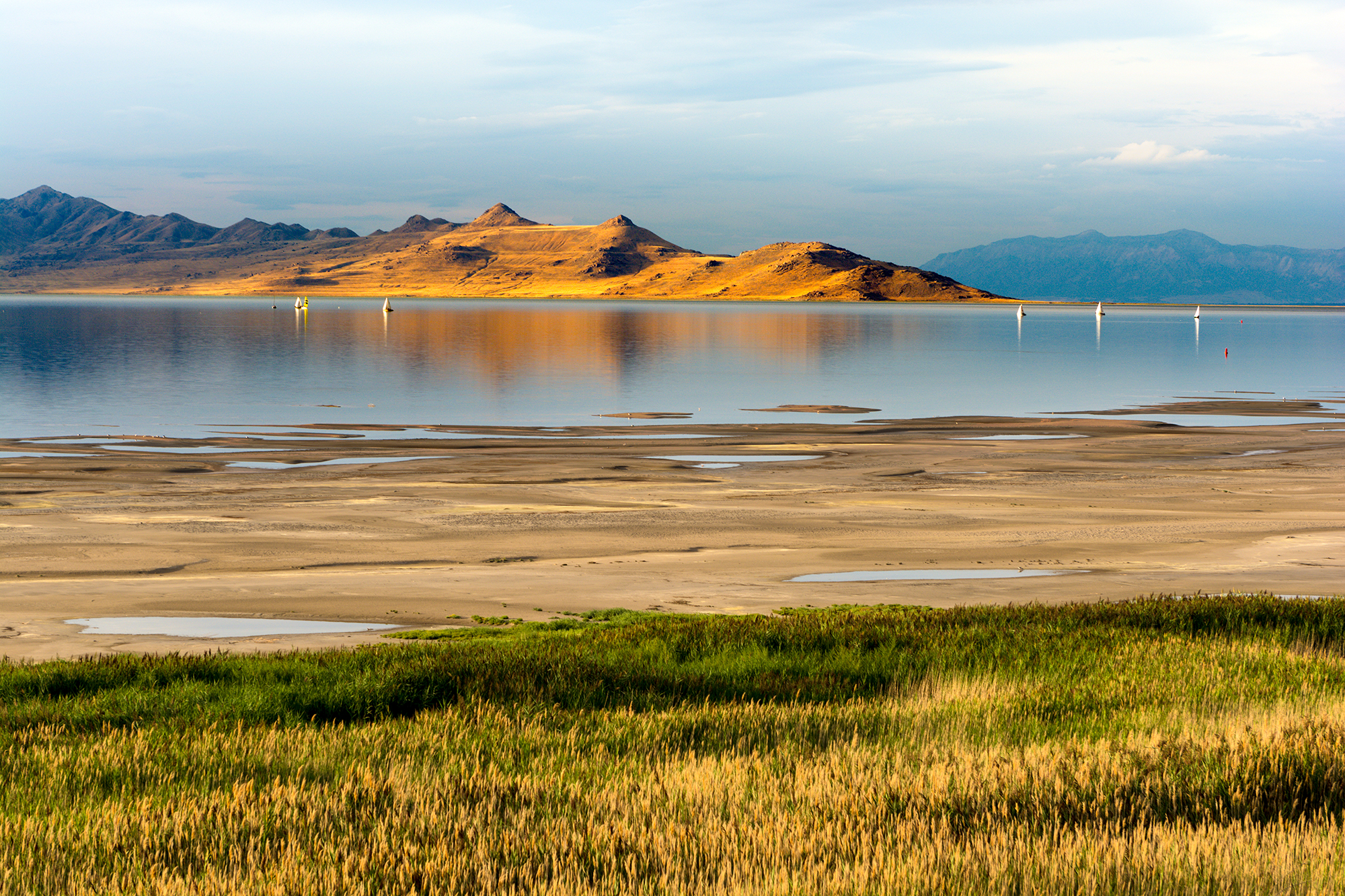
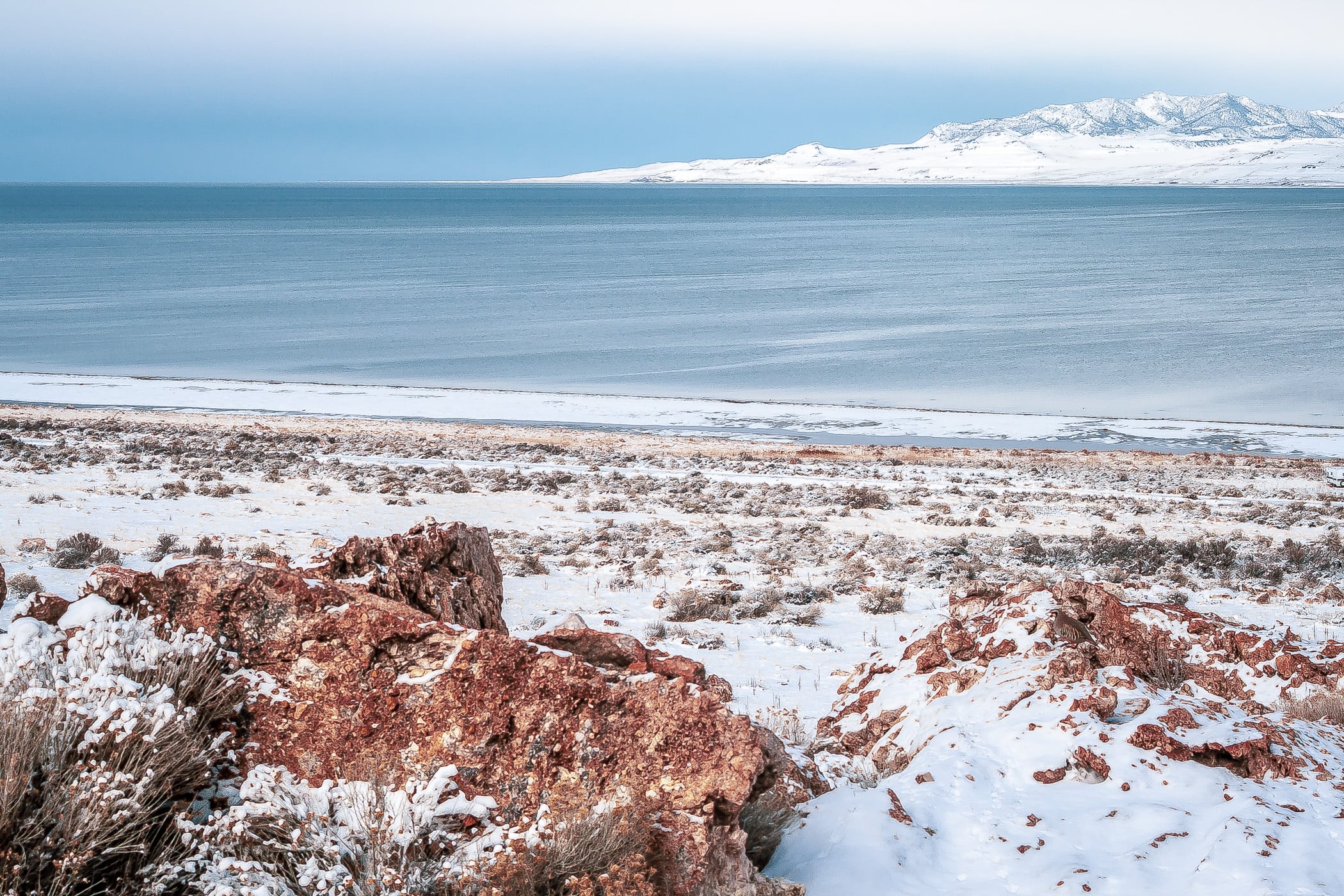
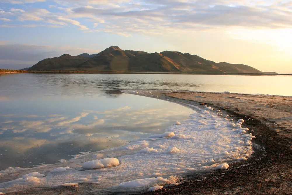
The Great Salt Lake

Great Salt Lake State Park
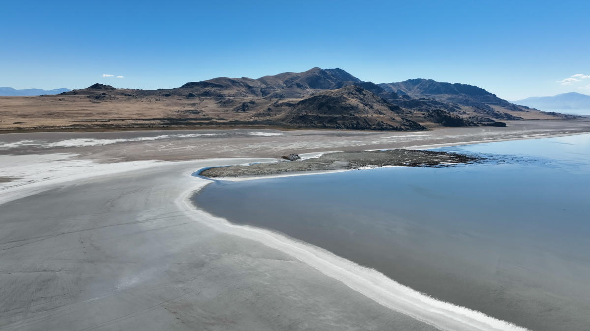
Winter on the Great Salt Lake
Drone view of the lake
Stansbury Island
Stansbury Island
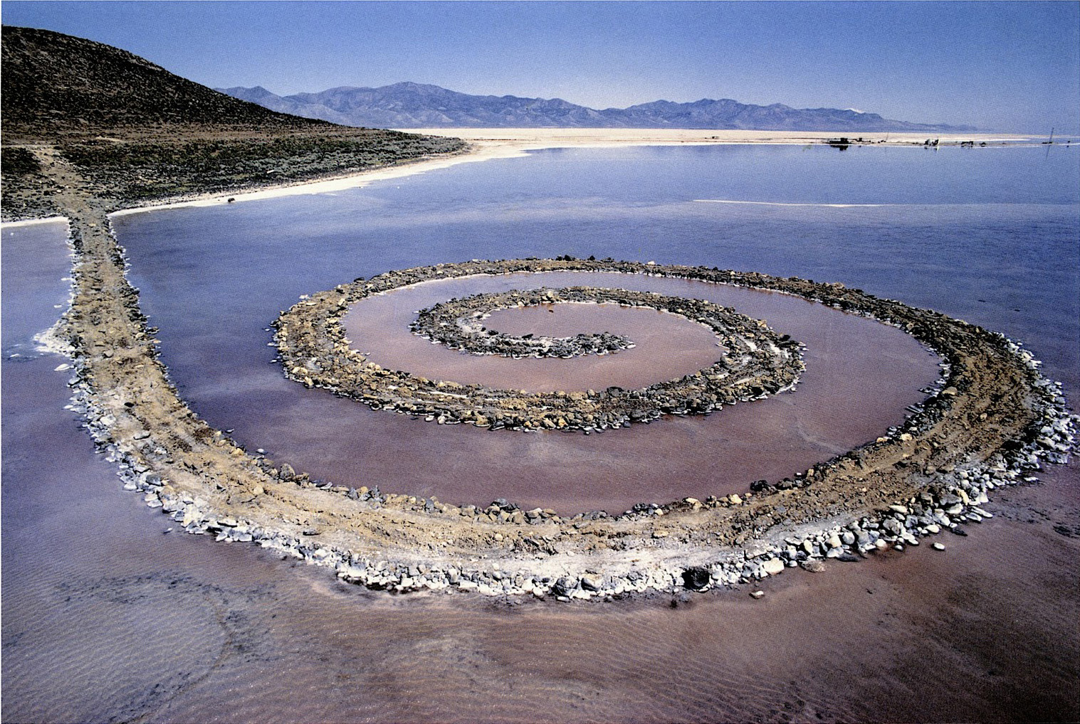
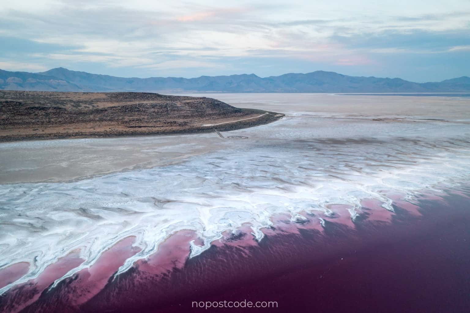
Spiral Jetty, Robert Smithson
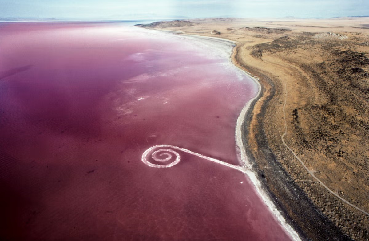
Spiral Jetty from the air
Spiral Jetty and the pink water
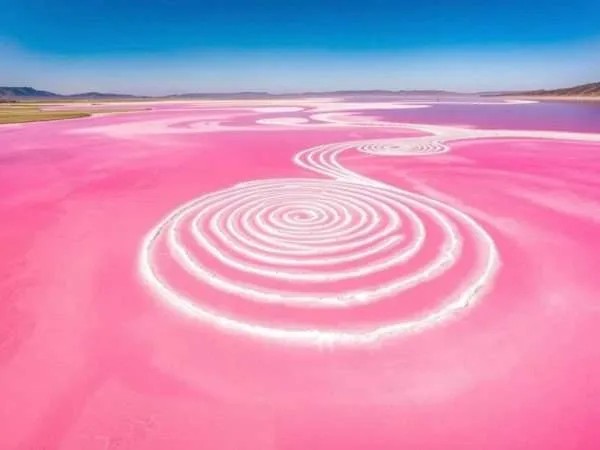
Spiral Jetty reaching into the pink lake

From the Plane

The lake and Interstate 80 from the plane
The lake and Interstate 80 from the planePhoto: David Herrera, CC BY 2.0
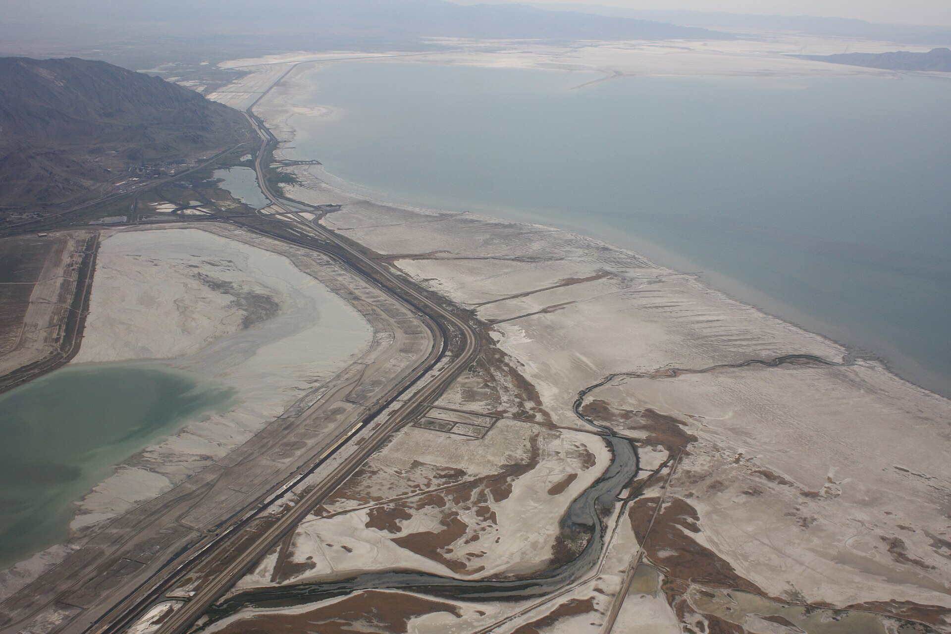
From the plane: water flowing into Stansbury Bay
From the plane: water flowing into Stansbury BayPhoto: Famartin, CC BY-SA 4.0 · Satellite view in Google Maps
From the plane: Stansbury Bay and the main lake
From the plane: Stansbury Bay and the main lakePhoto: Famartin, CC BY-SA 4.0 · Satellite view in Google Maps
From the plane: the central lake
From the plane: the central lakePhoto: Famartin, CC BY-SA 4.0 · Satellite view in Google Maps
From the plane: the central lake, farther on
From the plane: the central lake, farther onPhoto: Famartin, CC BY-SA 4.0 · Satellite view in Google Maps
From the plane: the northwest lake
From the plane: the northwest lakePhoto: Famartin, CC BY-SA 4.0 · Satellite view in Google Maps
From the plane: the northwest lake, farther on
From the plane: the northwest lake, farther onPhoto: Famartin, CC BY-SA 4.0 · Satellite view in Google Maps
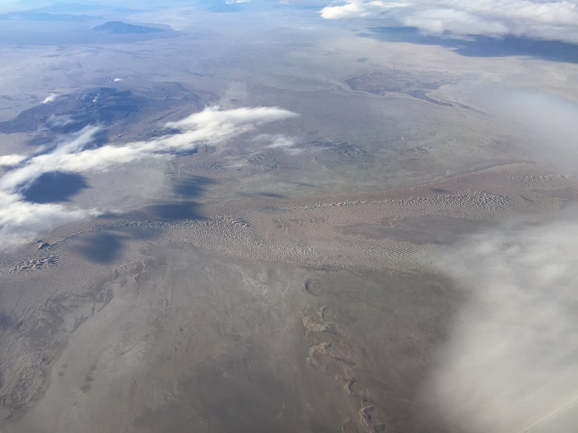
From the plane: the Utah Test Range in the Great Salt Lake Desert
From the plane: the Utah Test Range in the Great Salt Lake DesertPhoto: Famartin, CC BY-SA 4.0 · Satellite view in Google Maps
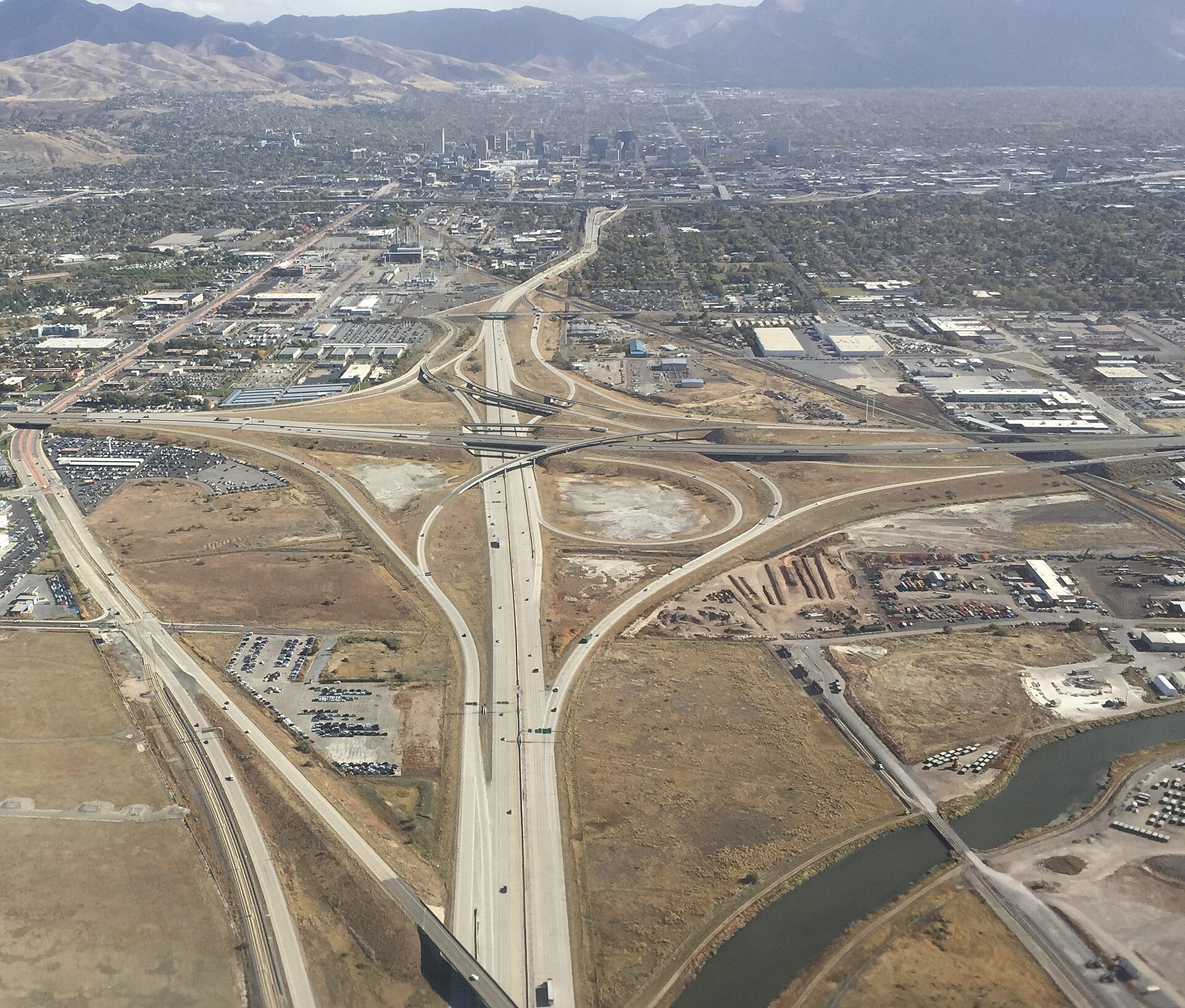
From the plane: taking off, with downtown Salt Lake City ahead
From the plane: taking off, with downtown Salt Lake City aheadPhoto: Famartin, CC BY-SA 4.0 · Satellite view in Google Maps
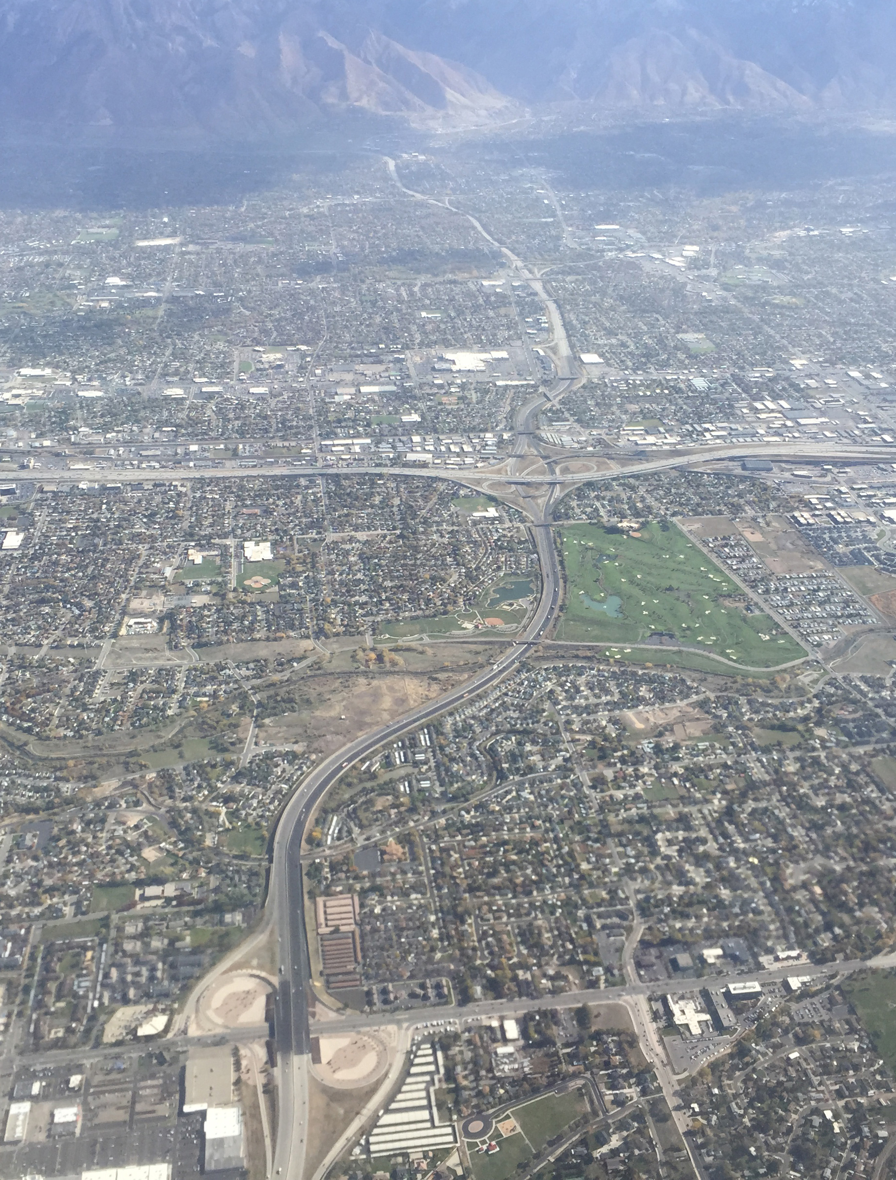
From the plane: Interstate 215 and Interstate 15 south of the city
From the plane: Interstate 215 and Interstate 15 south of the cityPhoto: Famartin, CC BY-SA 4.0 · Satellite view in Google Maps
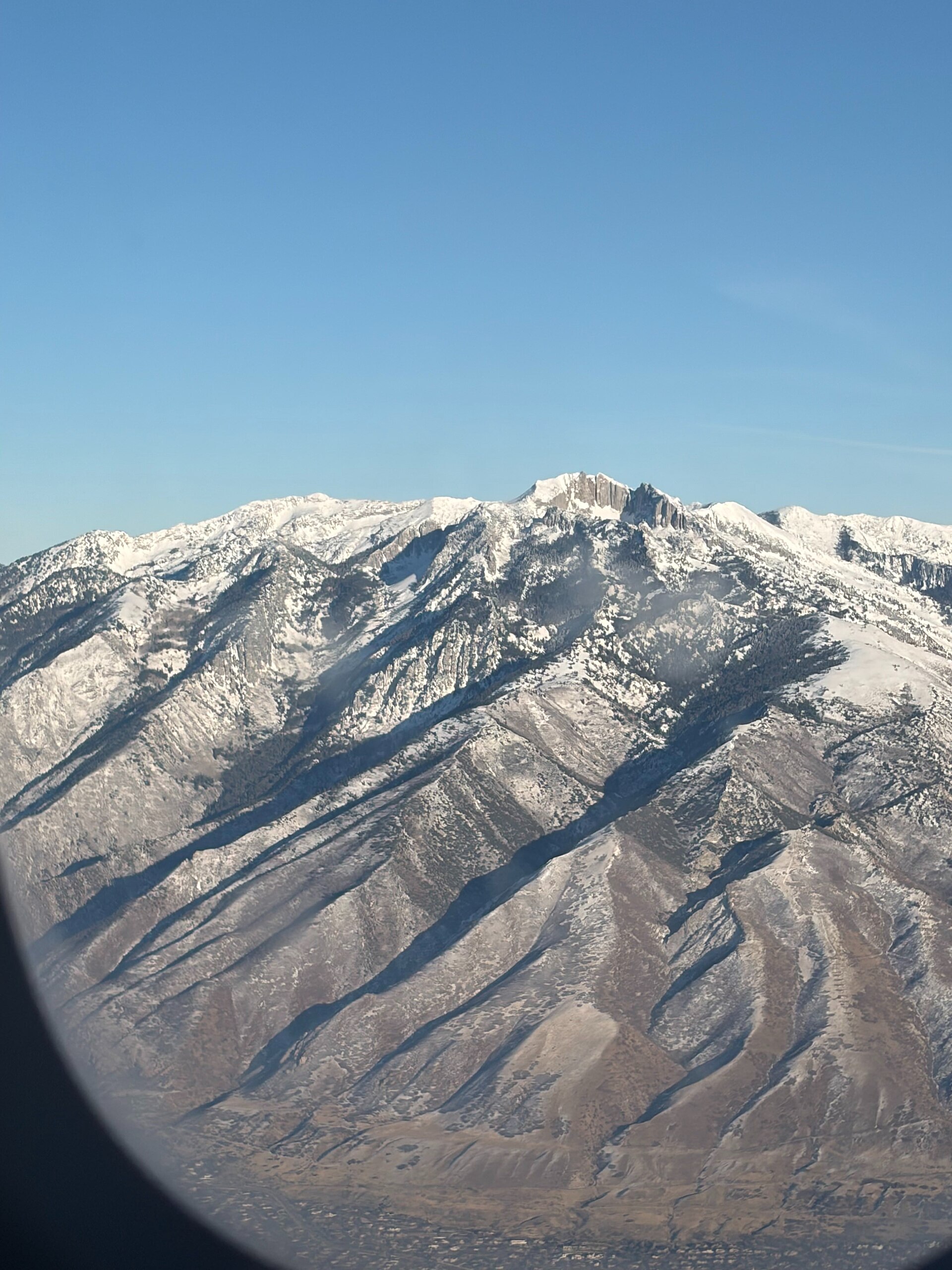
The Wasatch Range through an airplane window
The Wasatch Range through an airplane windowPhoto: Alexis Doine, CC0